Mapping Cavan, a history of Cavan in maps: an appeal for your assistance
Jonathan Cherry & Michael McShane
The purpose of this note is to detail an exciting new research project entitled Mapping Cavan which has been instigated by Jonathan Cherry and Michael McShane, both of whom have written a number of articles on aspects of Cavan’s cartographic heritage over the years. In attempting to examine and chart the extent to which county Cavan, has been mapped and surveyed over the past four centuries, Cherry and McShane have been inspired by the pioneering work of Ireland’s leading cartographic historian Dr Arnold Horner and in particular his lavishly illustrated monograph Mapping Laois from the 16th to 21st century.
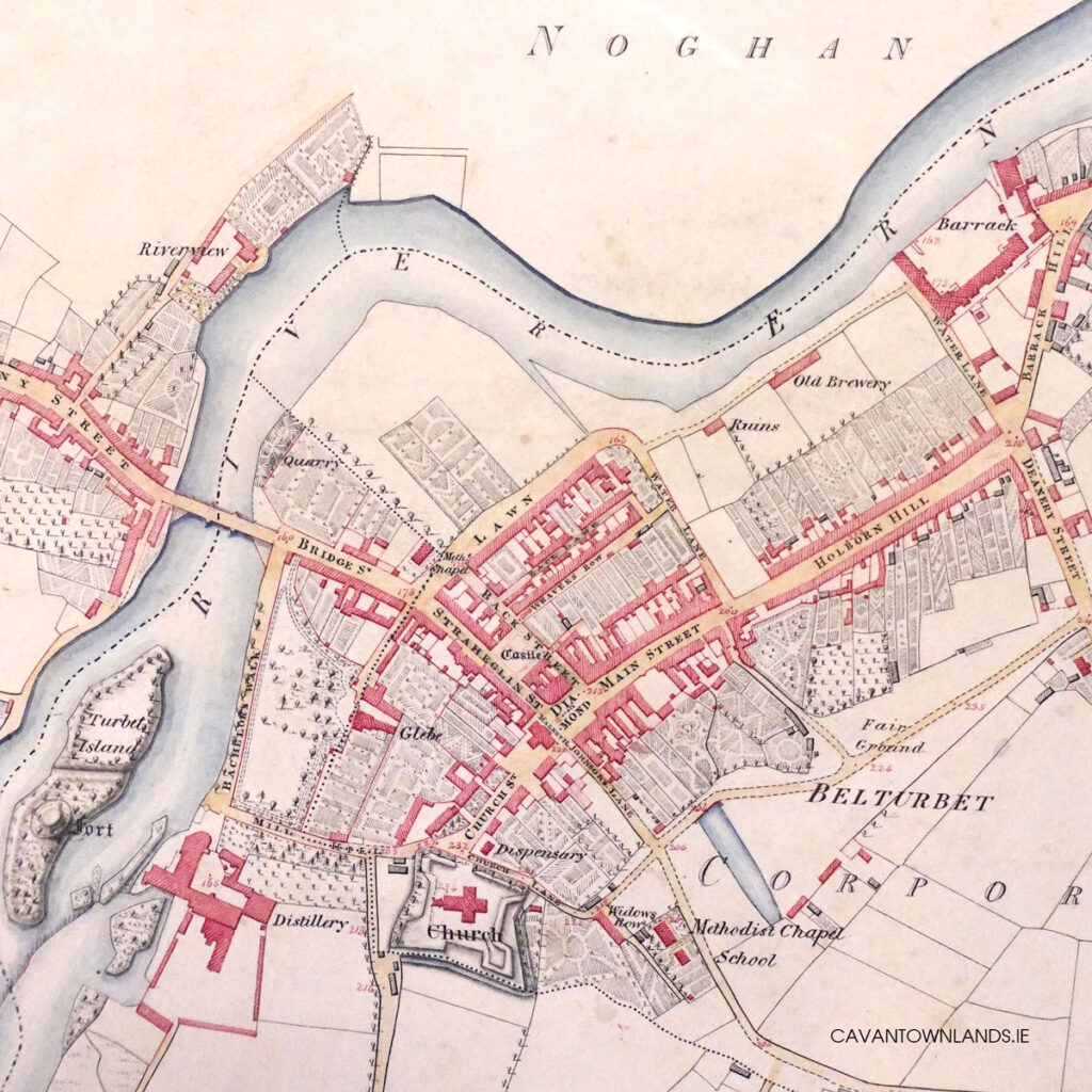
Maps provide us with unique ‘snapshots’ of landscapes and local environments at a particular moment in time and reflect in their composition and content the motivations and ideologies which underpinned their commissioning and compilation. An exploration of the rationale for these mapping endeavours by the state, local government and private individuals will be set within a broader context of these cartographic projects that captured Cavan’s landscapes. The research project will also serve to highlight the importance of cartographic sources, as significant bodies of source material capable of providing researchers with unique insights into the evolution of landscapes, environmental change and by extension society over time.
The central plank of the project is the identification of the extant maps and surveys relating to Cavan, from those depicting the entire county, to those maps and surveys at town, townland and farm / property holding level during the period circa 1600 to the present day. This dataset will provide a comprehensive record of Cavan’s cartographic history from the seventeenth century maps of conquest and colonisation, through to the eighteenth and nineteenth century estate maps of town and country. State inspired mapping of the county under the aegis of the Ordnance Survey and valuation surveying in the form of the Griffith Valuation in the nineteenth century will also be detailed. The scope of the research will also embrace both historical and more recent thematic maps, illustrating those associated with the agency of the Landed Estates Courts, the railway network, alongside touring, cycling and maps of the lake network produced for fishing enthusiasts in the 1980s.
In addition to recording details relating to the maps themselves the research will also identify and capture the information relating to the surveyors and cartographers involved with each of the manuscript maps. This first definitive listing of the land surveyors and cartographers active in Cavan during the period will supplement the listing contained in Dictionary of land surveyors and local map-makers of Great Britain and Ireland 1530-1850. It will serve to highlight the agency and activity of both local Cavan based surveyors such as the Bells, Benisters and McCollums, and the more established and well recognised Dublin based surveyors such as Jonathan Barker and Thomas Sherrard.
While many of these maps are held in local archives and libraries in county Cavan and some neighbouring counties, a significant number have already been identified in national institutions such as the National Library of Ireland and the National Archives of Ireland. Some have been scattered much further afield and are now housed in archives and record offices across the United Kingdom and internationally.
We are also acutely aware however that some maps and surveys still remain in private hands and collections and we therefore are seeking your assistance in identifying such maps to us. To that end we would encourage you to contact us in confidence – via the link below – so that our listings will be as comprehensive as possible. While the maps or surveys that you may have, may not appear to be particularly special or extraordinary, as we are interested in capturing the whole range of such representations of Cavan’s landscapes and places over the centuries, we would appreciate the opportunity to review, and include them in our listing. We are particularly anxious to make a special plea to the legal profession in the region asking that solicitors would take the opportunity of reviewing their collections for such surveys and maps.
It is our hope that the research when completed will be disseminated through a number of different channels, including a monograph publication. It is also hoped that some of the material will also be made available online in bringing our research findings to a wider audience. This project while being of interest to those concerned with the landscapes and history of Cavan will also we hope, serve to heighten awareness of the rich cartographic record the county has inspired, while encouraging appreciation of historic maps and surveys as part of our unique tangible heritage.