Bodley Maps of the baronies of County Cavan1610

Bodley Maps of the baronies of County Cavan1610

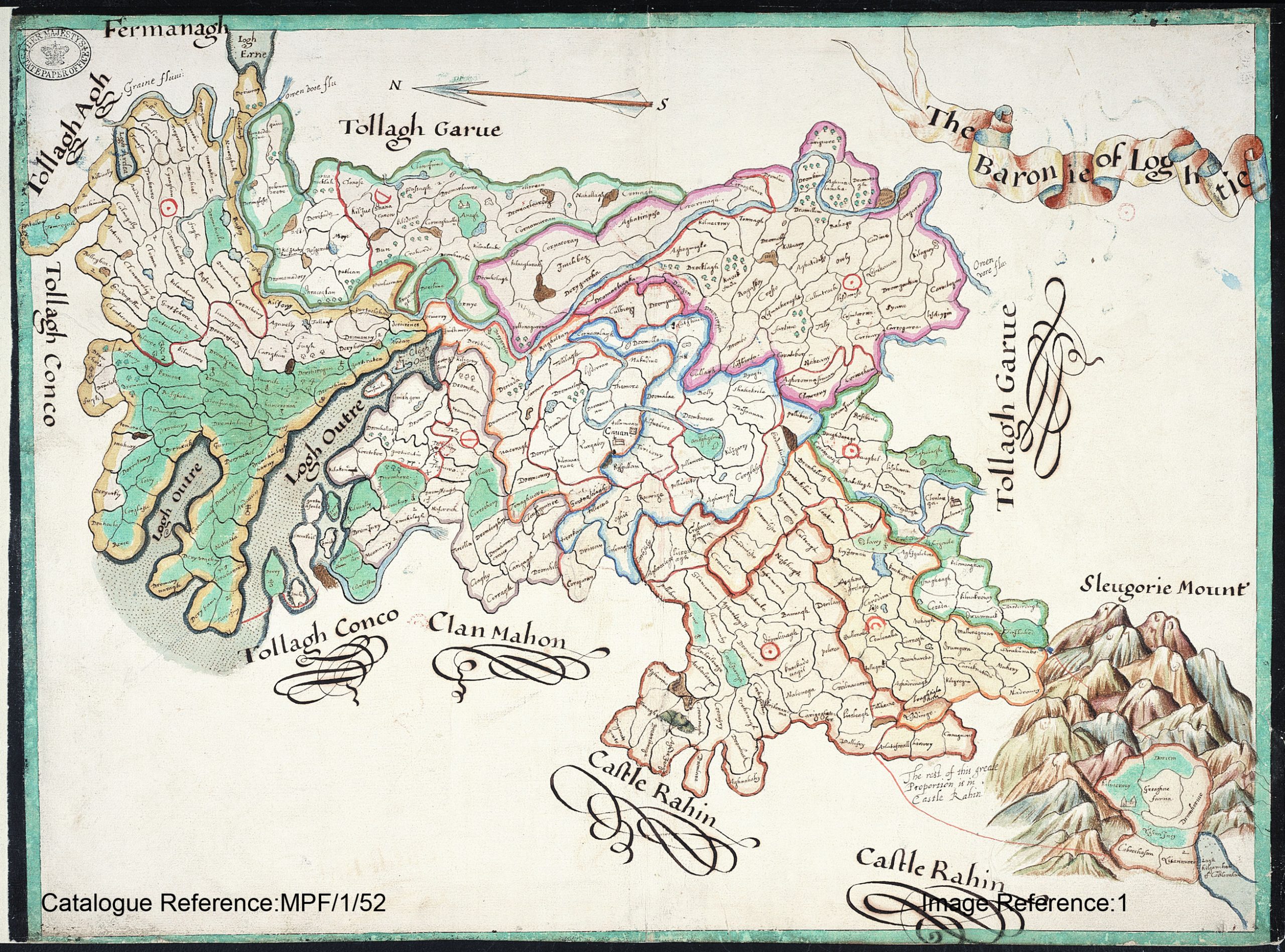
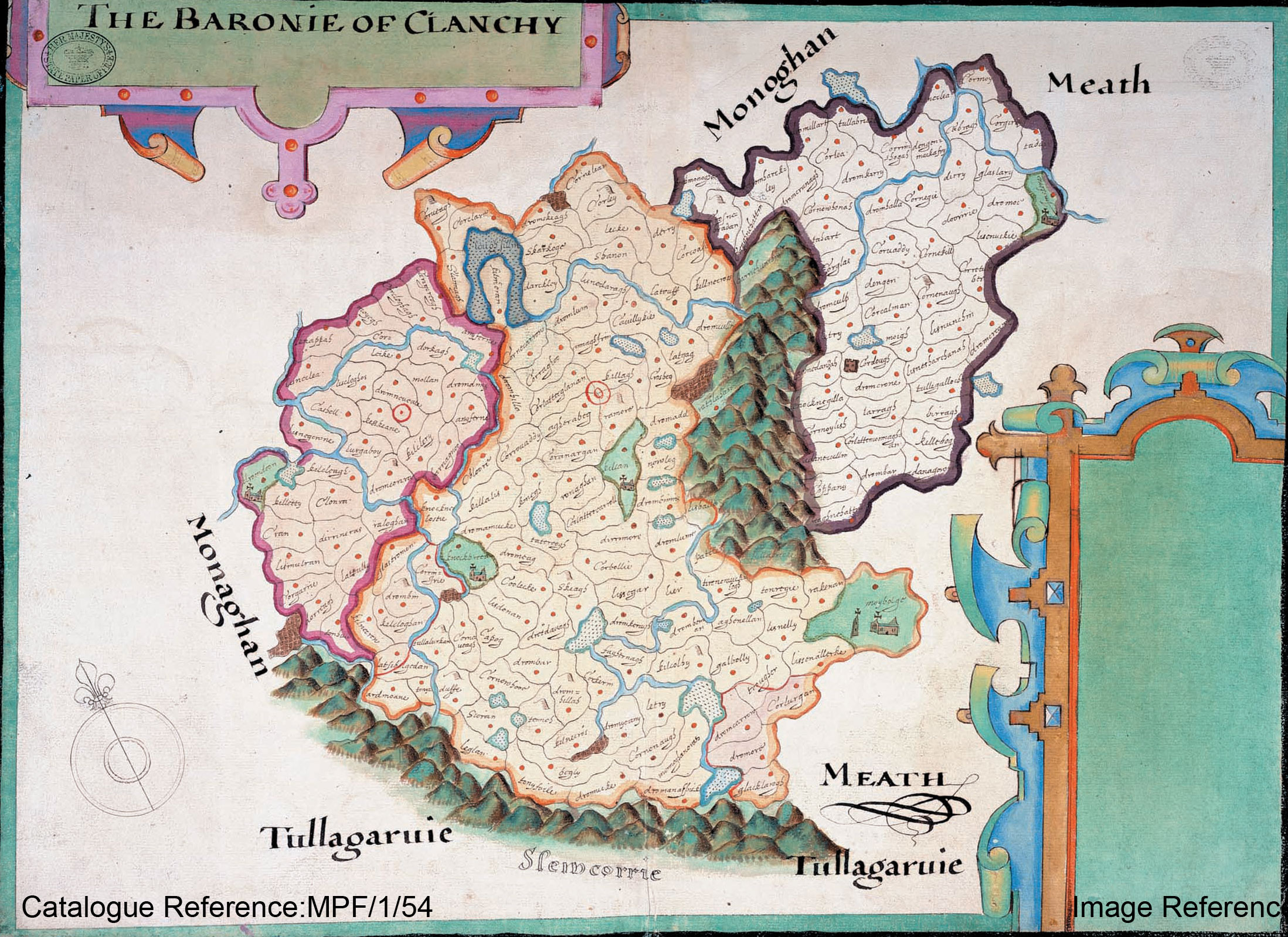
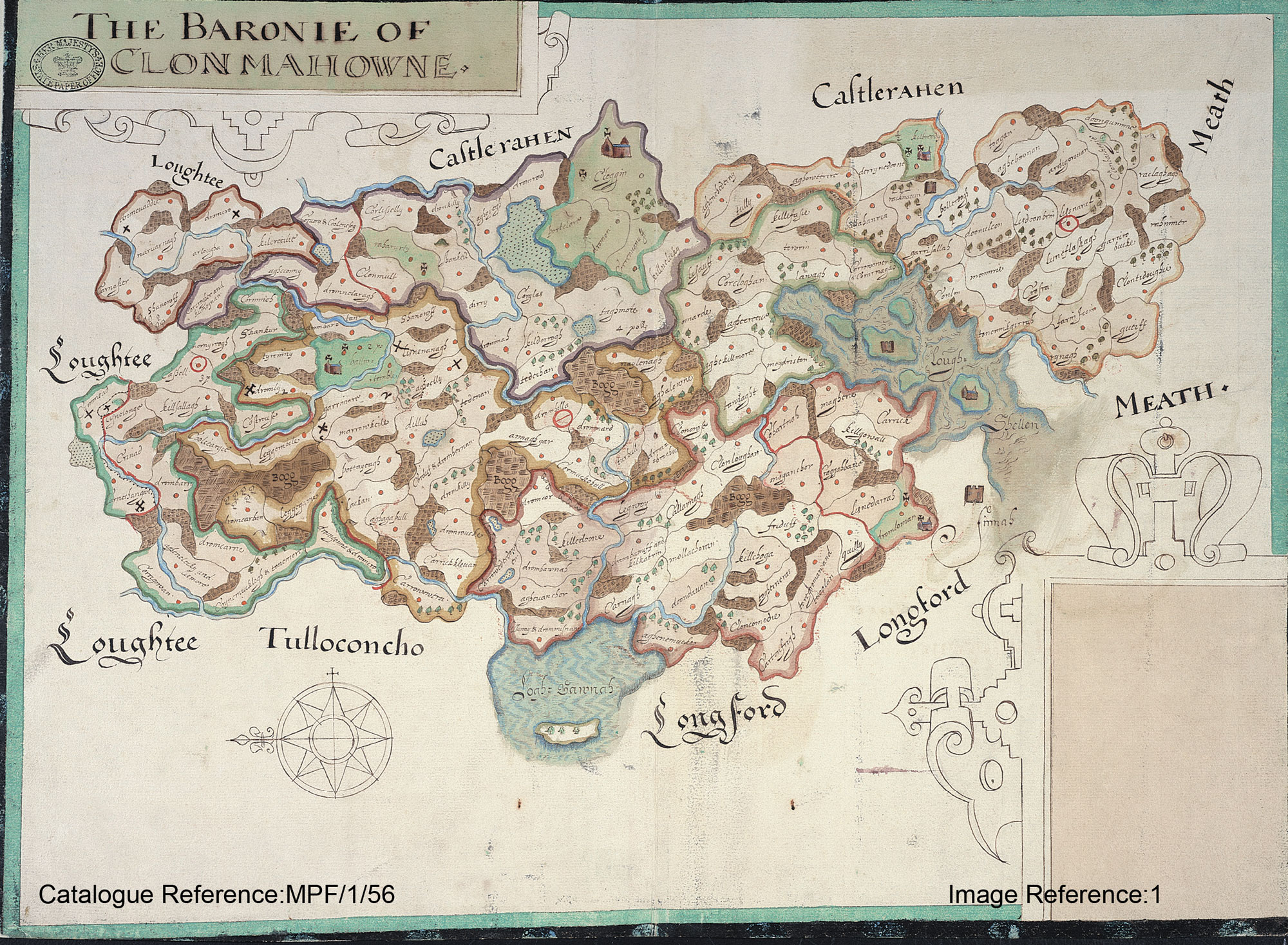
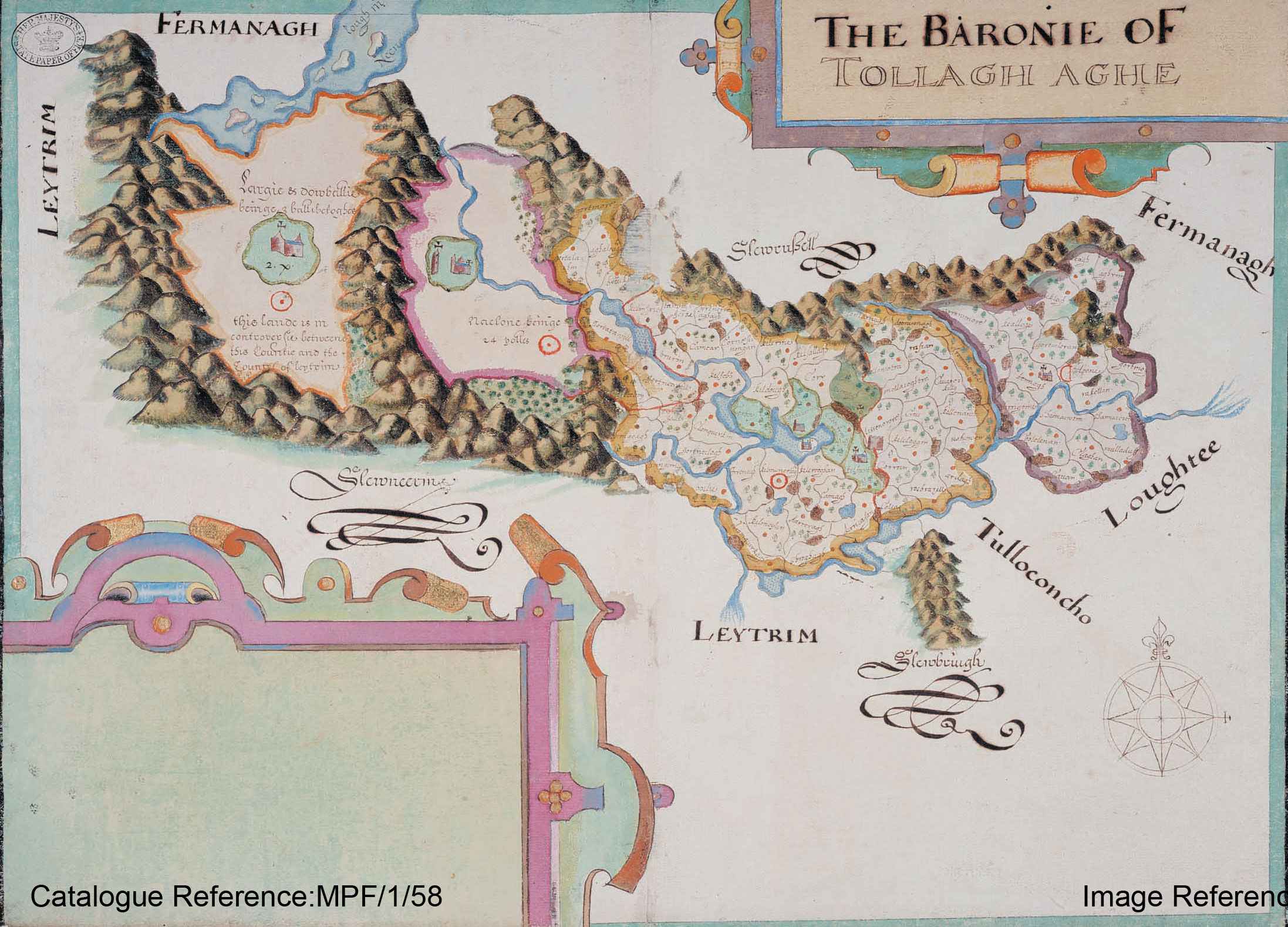
In preparation for the Plantation of Ulster forces of the Crown were tasked with surveying the escheated (confiscated) counties of Ulster vacated after the Flight of the Earls in 1607. This work was overseen by Sir Josias Bodley who presented the completed maps to King James I in 1610.
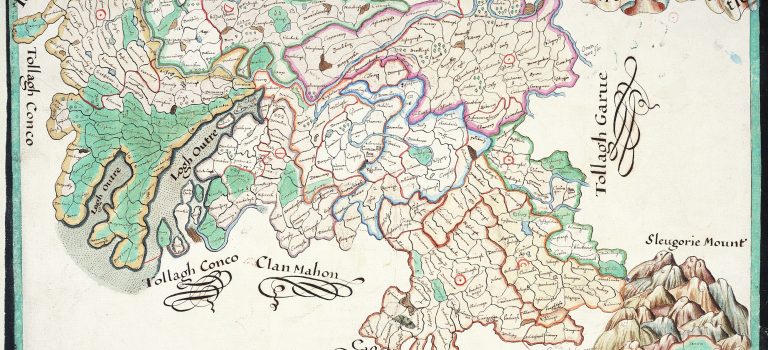
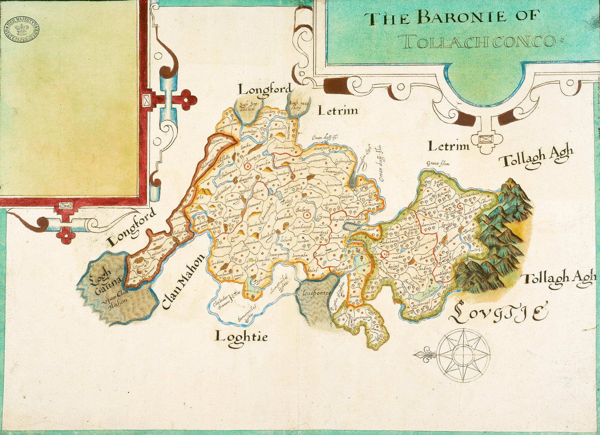
Barony of Tullyhunco
Barony of Loughtee
Barony of Clankee
Barony of Clonmahon
Barony of Tullyhaw

Carrotubber 1609 Bodley Map

2014 hi_Carrowtubber
Carrotubber townlands today

1609 hi_Corratubber
Corratubber Proportion/Estate 1609 as granted to Sir Alexander Hamilton

Ref 1609 Map 1629 Inquisition Current Name
CT1 Behe Behe Behy
CT2 Bruse Bruse Bruse
CT3 Gartneterine Gortneterife Gorteen or Gorteenateriff
CT4 Sullaghwy Sallaghy

Dineyon (parcel)

Dromgrieske (parcel)

Knocknecachie (parcel)

Sallagh

Dingins

Drumbriskan

Knockaghy

CT5 Dromchachy Dromchachy aka Drumercharie Drumrockady
CT6 Nalosty Nalosty aka Nalossit Losset
CT7 Corotaber Corratubber Corratober
CT8 Aghauehan Aghavahan

Cormichneill (parcel)

Cornebane (parcel)

Aghaveans

Cornamucklagh Cornagran

CT9 Corihie Cor-Ihy aka Carfrie Corfree
CT10 Clonue Clanne

Skreebagh (parcel)

Cloone

Scrabby

CT11 Portanure Portennure Portanure
CT12 Mulrucke Mulrack Mulrick
CT13 Sihoran Syhoran No matching townland
CT14 Aghaconnogho Aghonocho aka Aghknocke Aghaknock