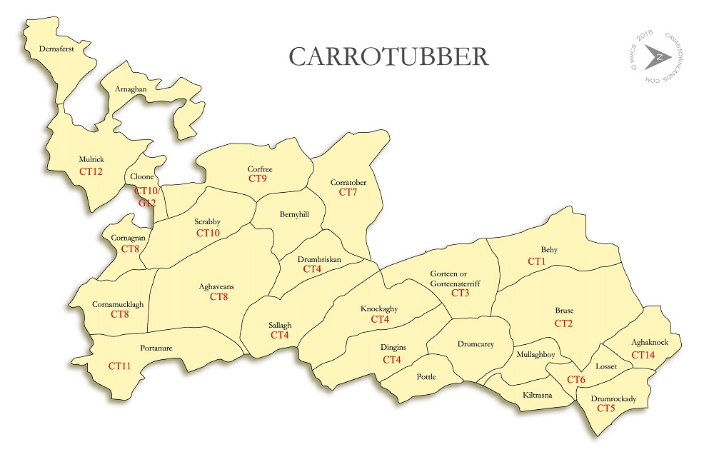
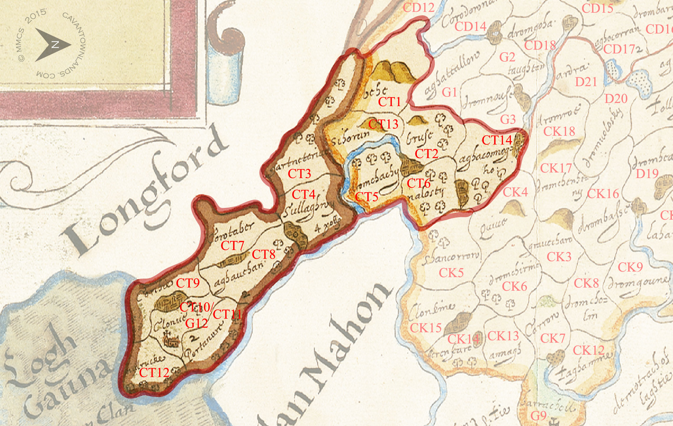
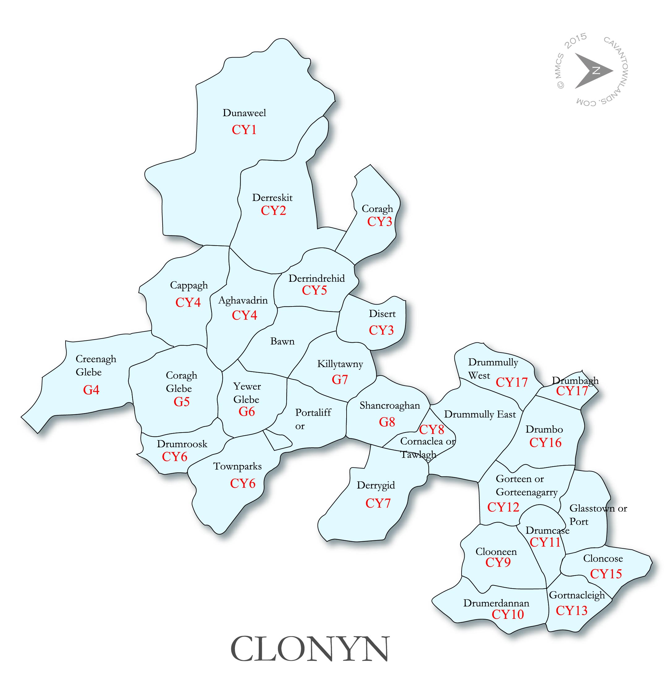
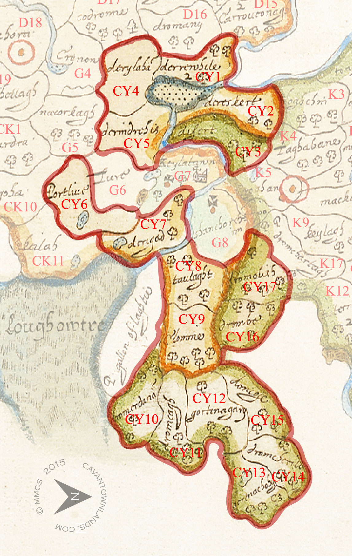
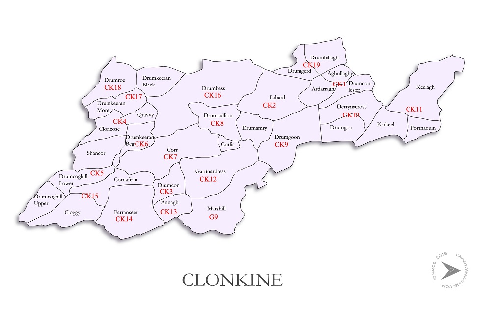
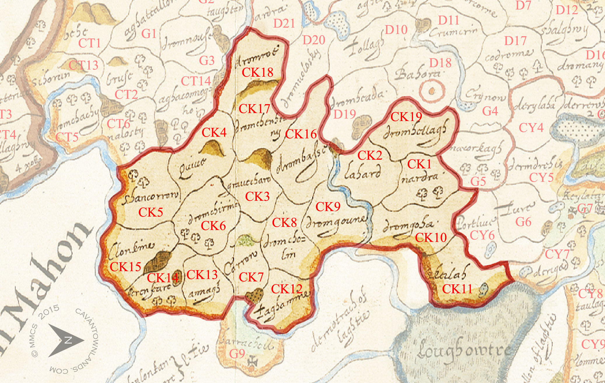
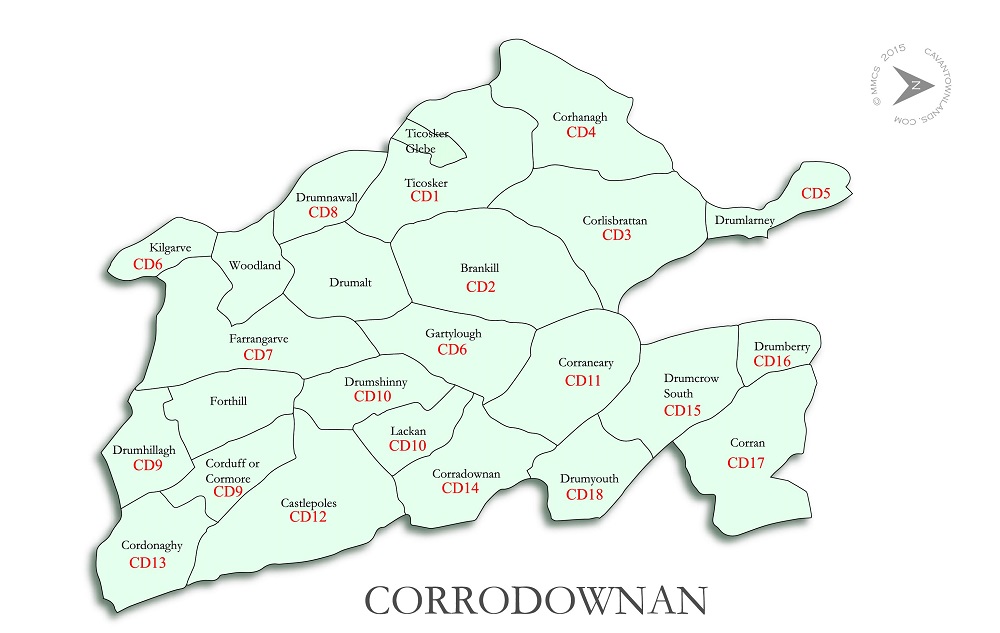
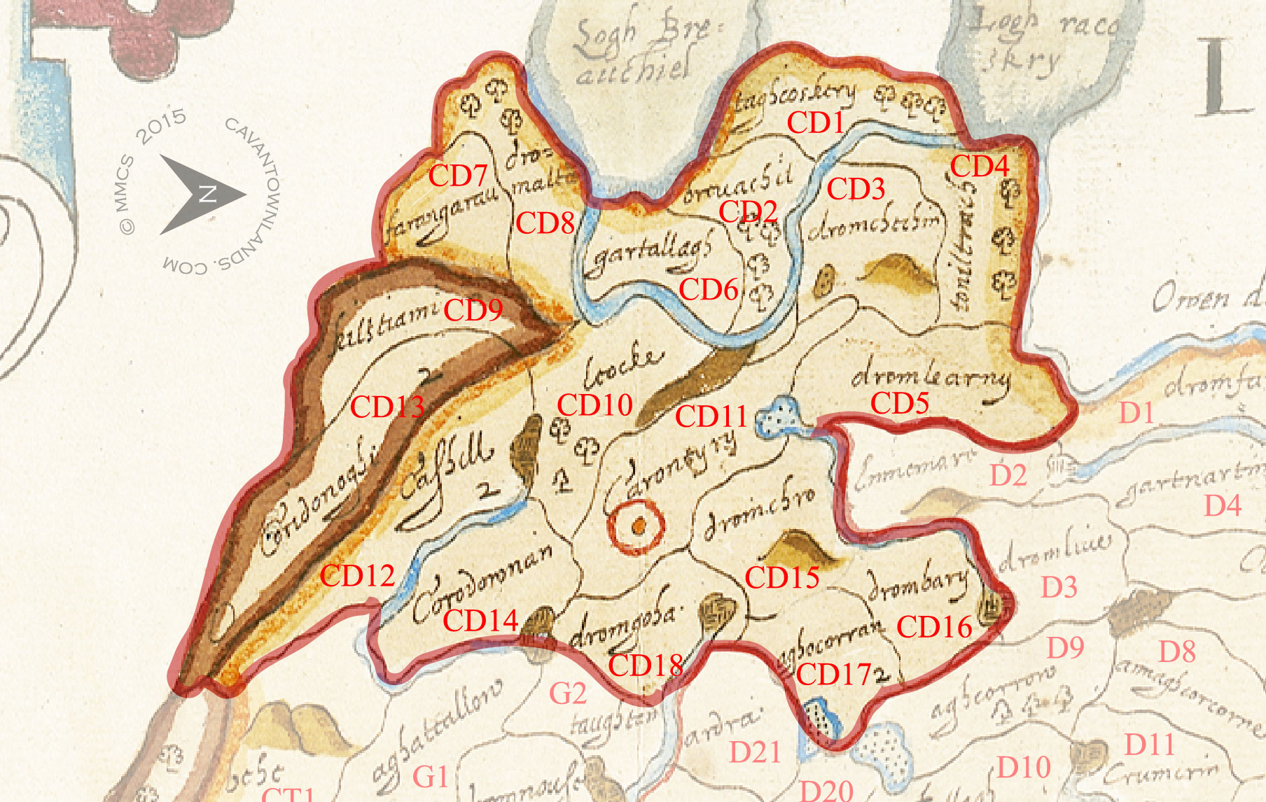
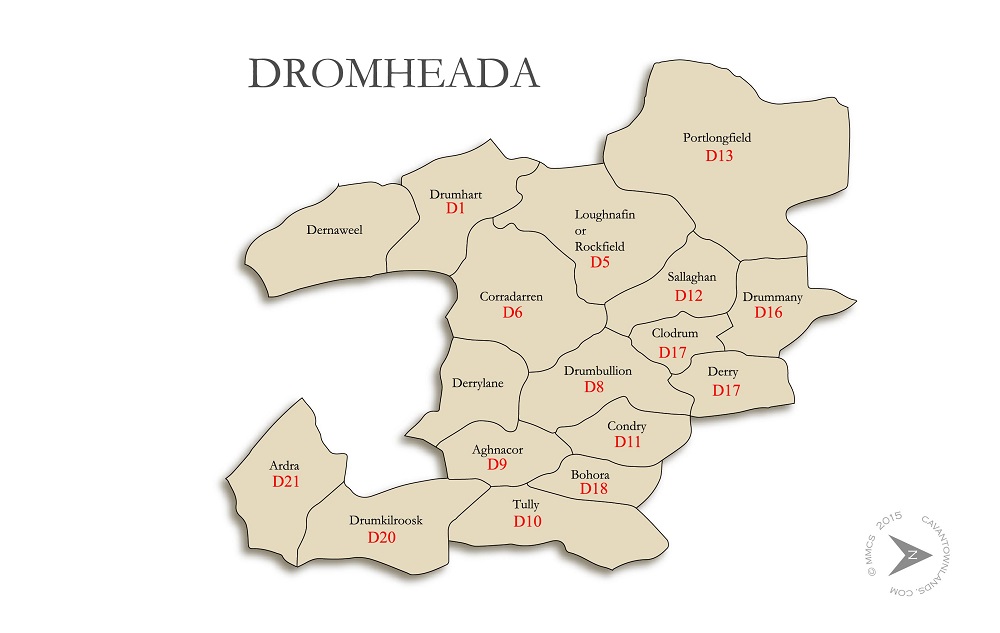
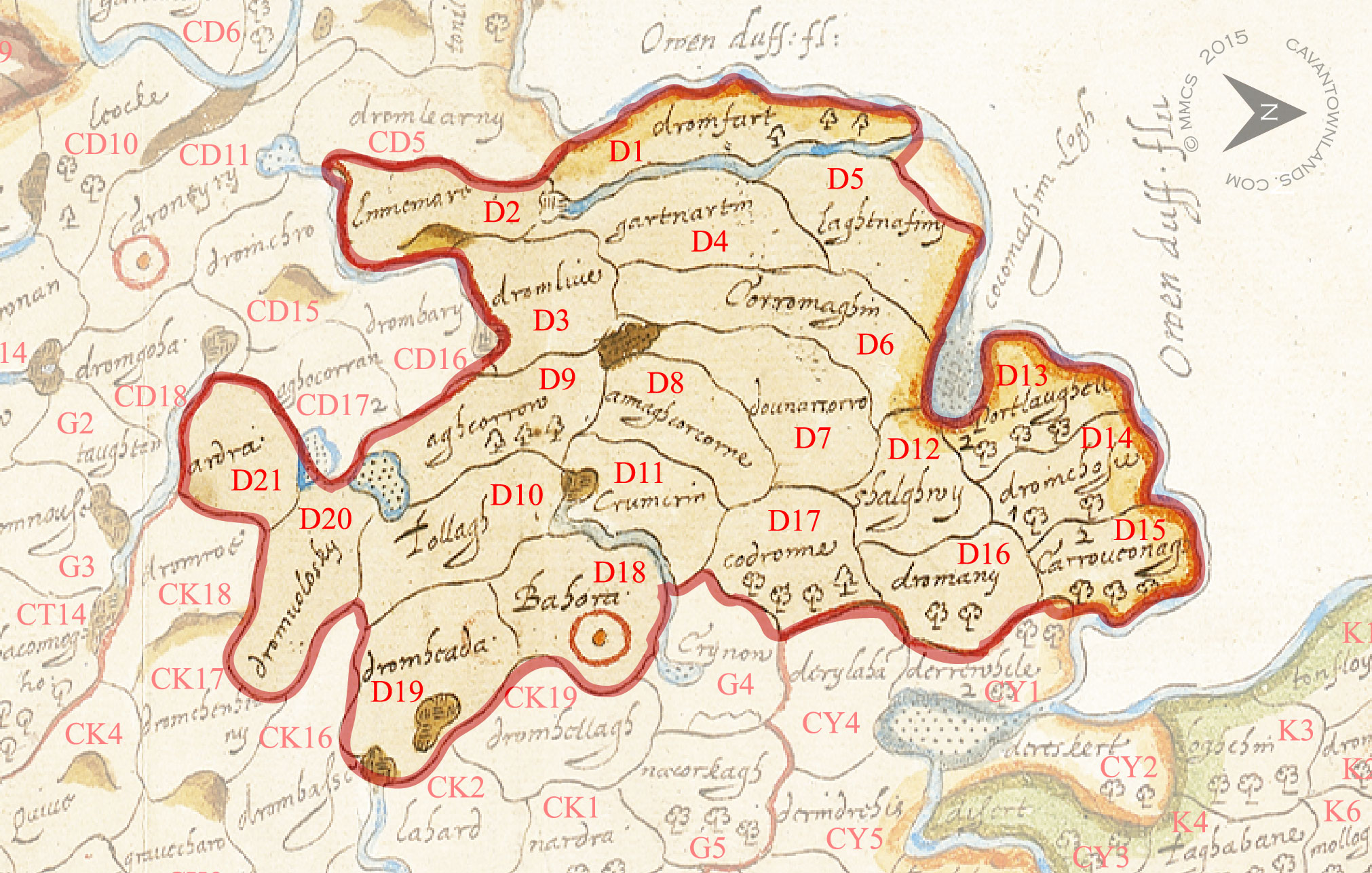
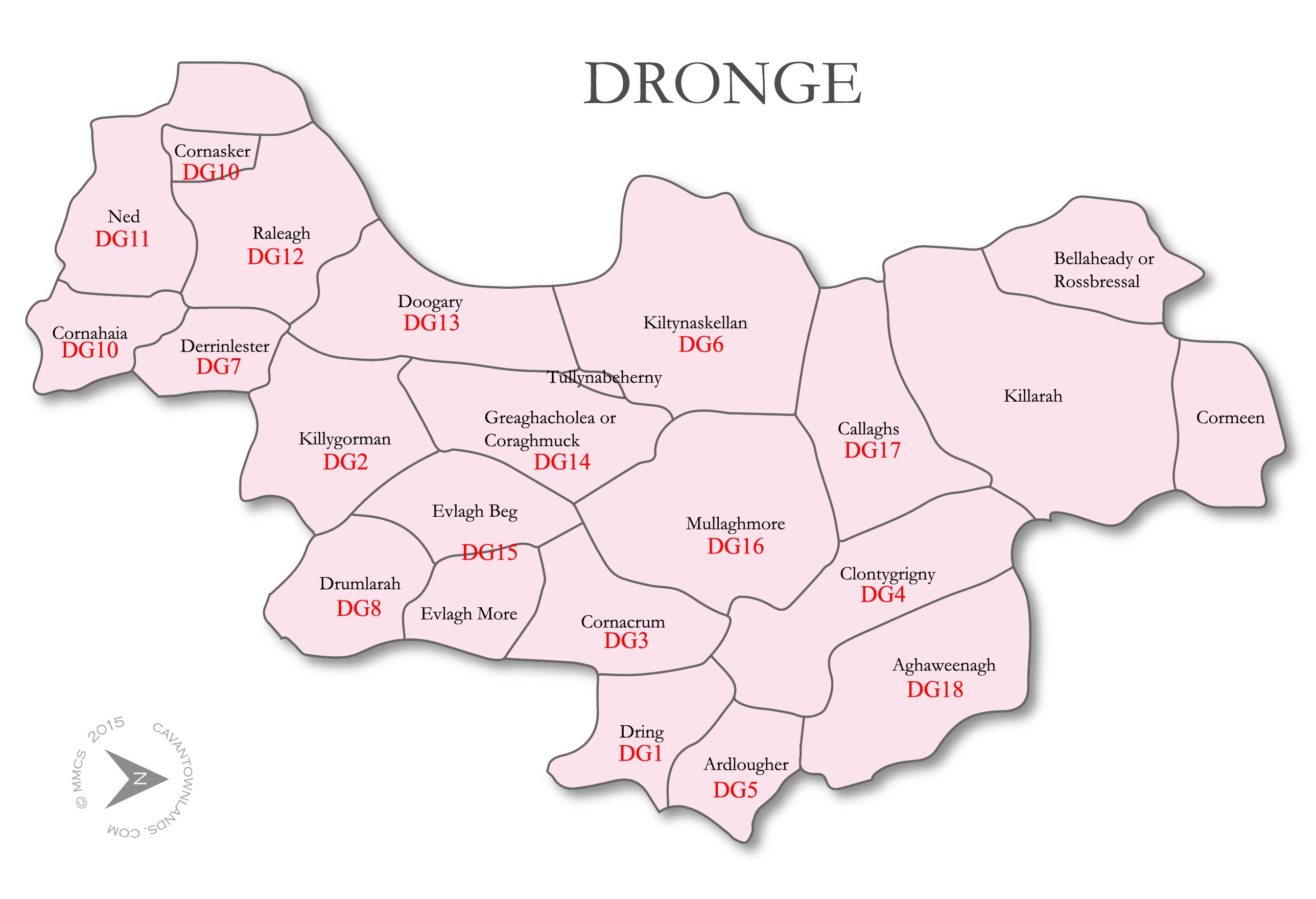
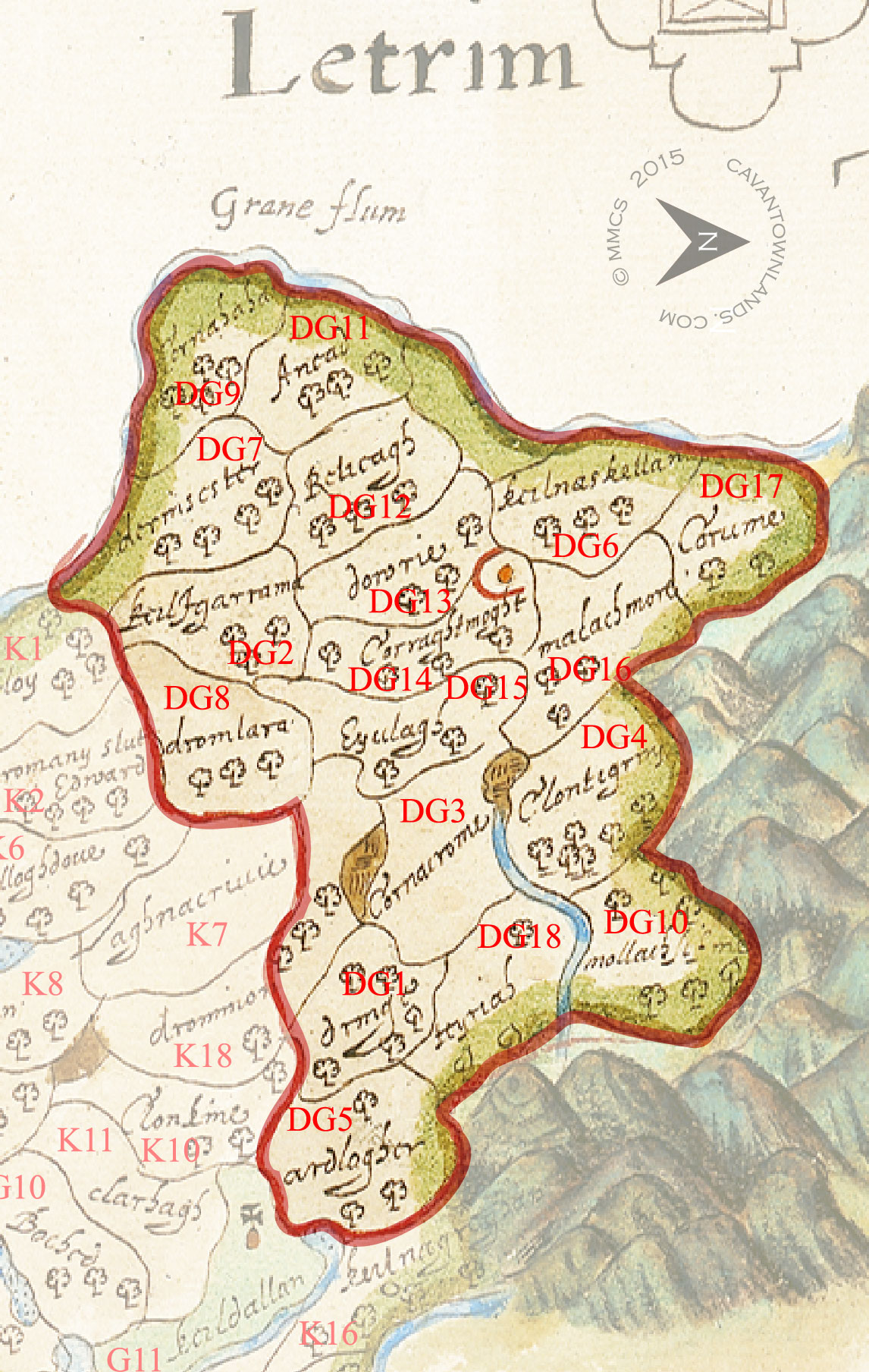
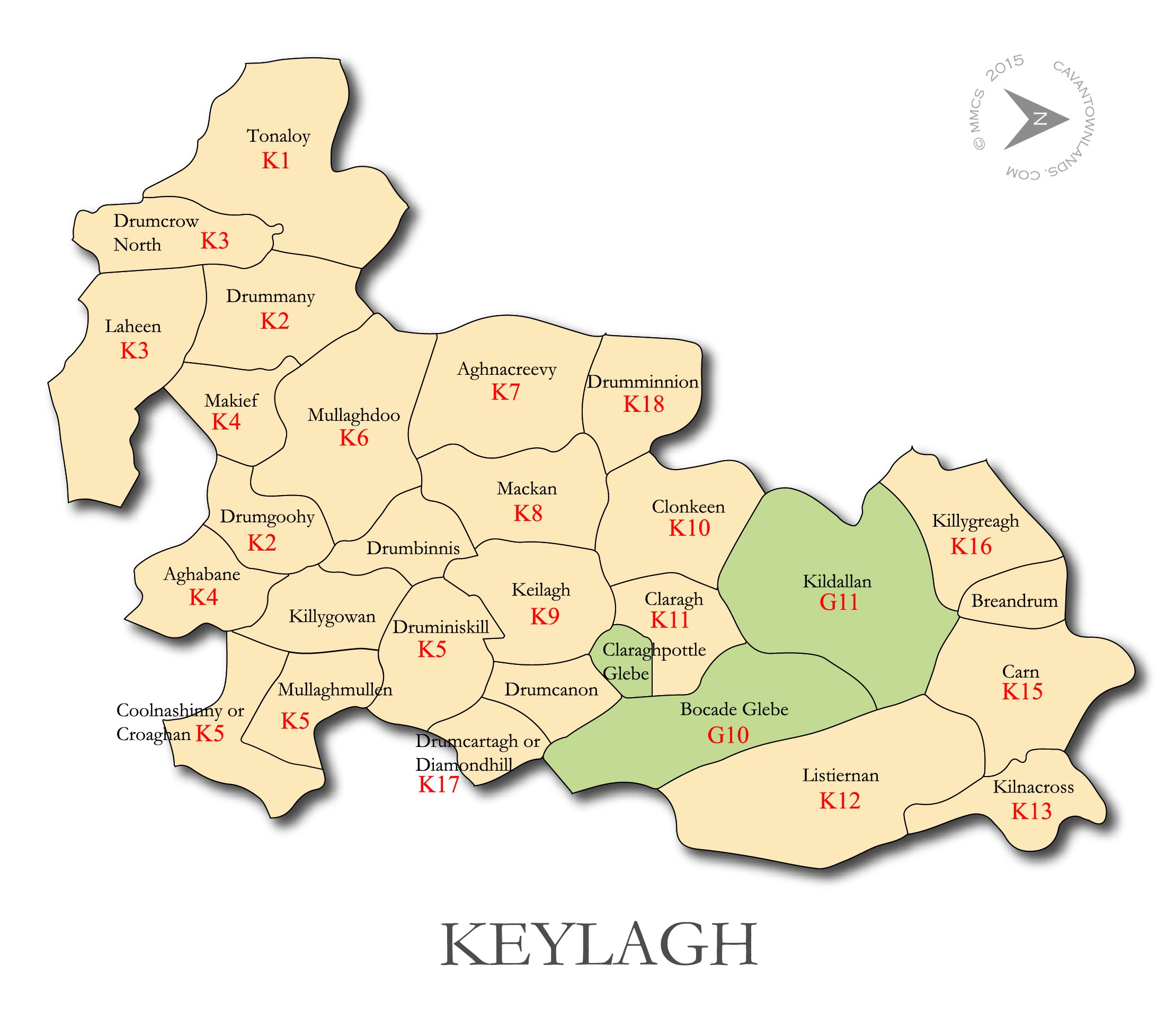
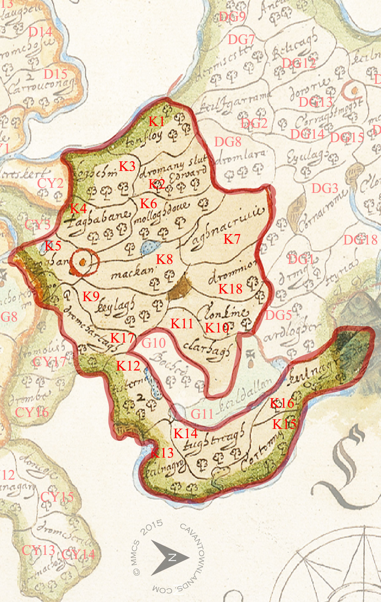
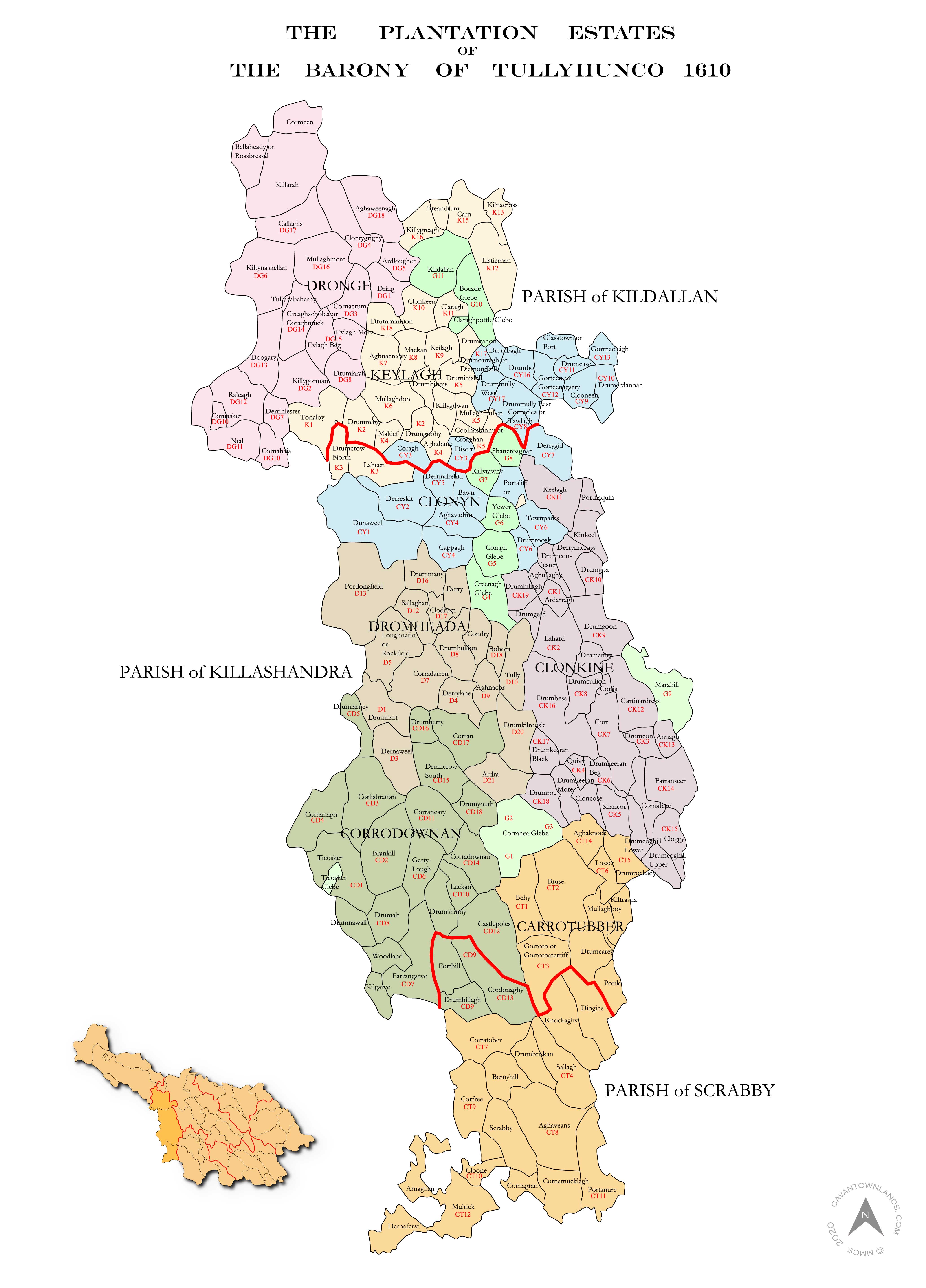
This is a detailed comparison of the barony map of Tullyhunco with the present day mapping of the area. Below you can see the individual plantation estates, or proportions as they were called. In preparation for the Plantation of Ulster forces of the Crown were tasked with surveying the escheated (confiscated) counties of Ulster vacated after the Flight of the Earls in 1607. This work was overseen by Sir Josias Bodley who presented the completed maps to King James I in 1610.
