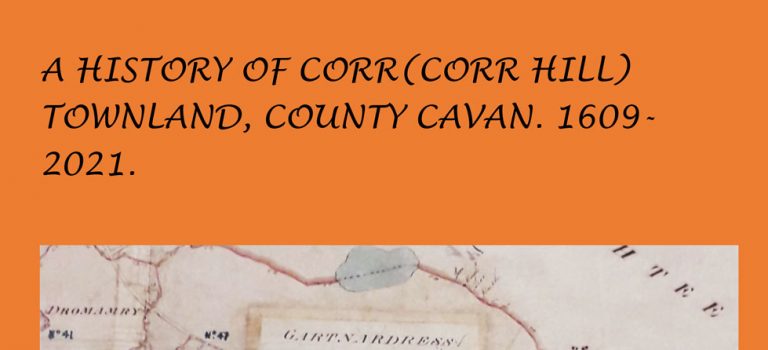
Cavantownlands would like to thank Billy for contributing this comprehensive and highly detailed history of the townland of Corr which is located close to Cornafean in the parish of Killashandra. Billy has written many articles about this region of Cavan and this, his latest work, is the culmination of many years of research combined with a unique knowledge of local history in this area. This piece will be of great interest not only to those living in Corr and nearby townlands, but also to the wider Cavan diaspora as much of the history recounted here can be applied to the other townlands of Killashandra and indeed to the entire of the County.
1836 Name Book records for the townlands of 9 parishes first published in The Heart of Breifne.
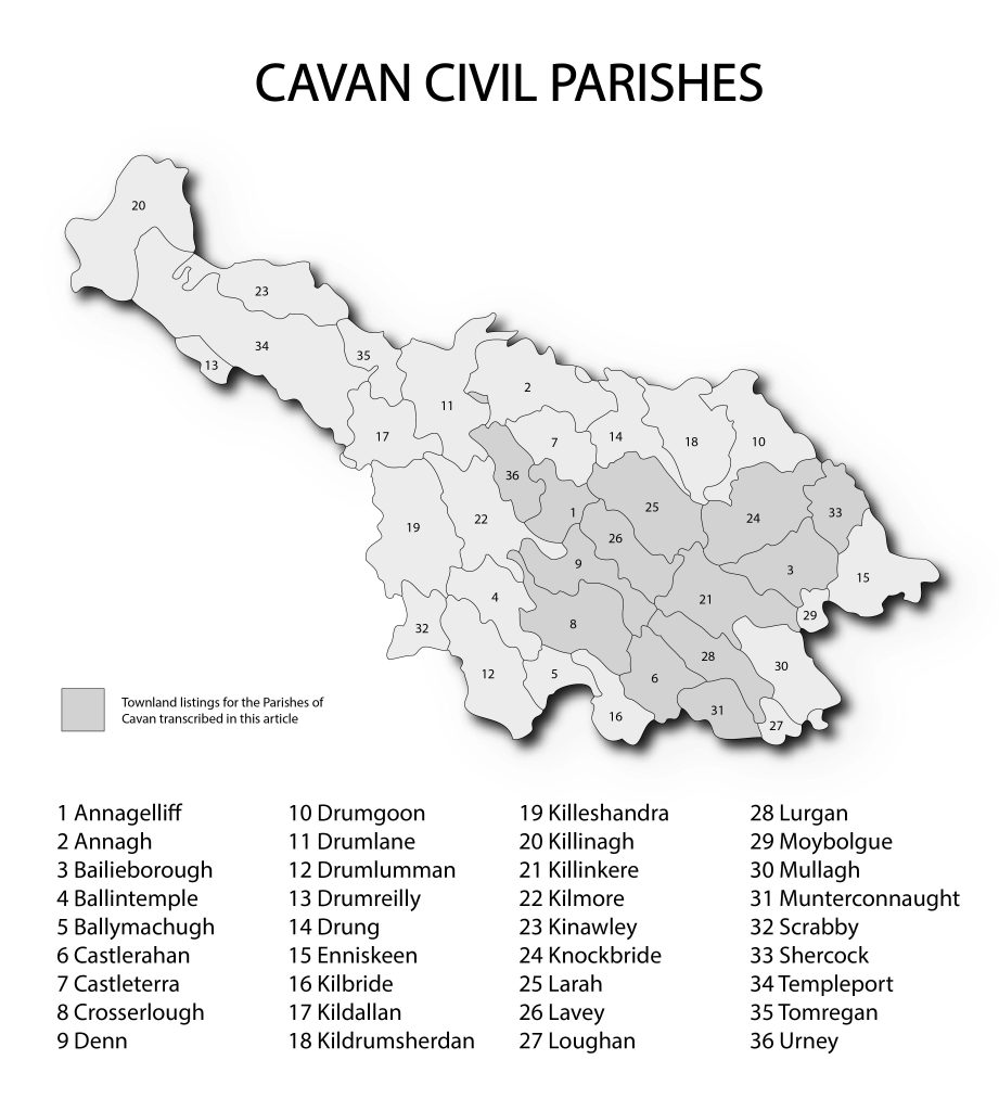
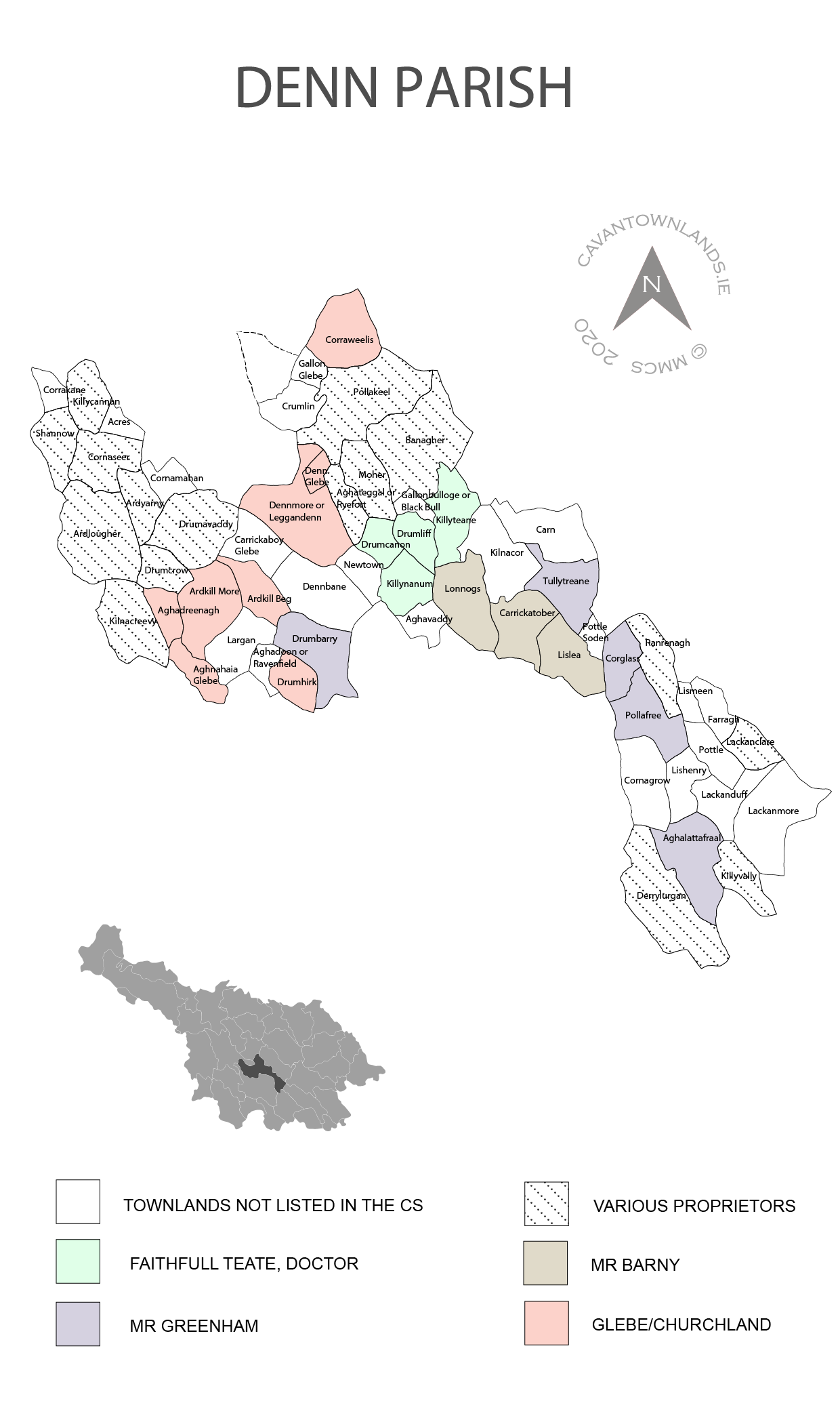
The preparation of the six inch to one mile scale maps of the entire island of Ireland, which was conducted by The Ordnance Survey of Ireland between 1824 and 1846, required the naming of townlands, geographical features, prominent buildings and landmarks. The renowned Irish scholar, John O’Donovan, was given the task of ascertaining accurately the old Irish names of the townlands, their translation and making recommendations for the final English version to be used in the printed maps. This he did with great skill and attention to detail. He visited Cavan in 1836 and his travels are recorded in his Ordnance Survey Letters which were reports and requests written to the OS headquarters in the Phoenix Park. The orthography section of the Name Books include the received name, the final agreed name and translations as well as other versions which were encountered. The final section of the field name books under the headings ‘Situation’ and ‘Descriptive Remarks’ typically provide details on the exact location and description of boundaries along with notes on soils, farming practices, leases and rents, prominent buildings, employment and landlord names. Here we reproduce, courtesy of Anna Sexton editor of The Heart of Breifne, the summarised Descriptive Remarks which were transcribed by Liam O’Ceallaigh and published over the years 1979-1987. The nine parishes covered are: Bailieborough, Castlerahan, Crosserlough, Denn, Killinkere, Knockbride, Lavey, Munterconnaught and Shercock.
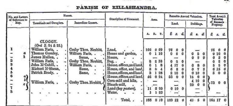
The primary valuation of Ireland, or Griffith’s Valuation, which was carried out between 1848 and 1864, to determine liability to pay the Poor rate (a tax for the support of the poor within each Poor Law Union) provides detailed information on where people lived and the property they possessed.
Browse the entire list of Griffith’s Valuation of 1857 records for Cavan. Filter by parish, townland and name. For additional data (image of original ledger and maps), visit Griffith’s Valuation (askaboutireland.ie).
Please bear with us if this page is slow to load – there are nearly thirty thousand records. Records can be filtered in the column headers once table is loaded.
The primary valuation of Ireland, or Griffith's Valuation, which was carried out between 1848 and 1864, to determine liability to pay the Poor rate (a tax for the support of ...
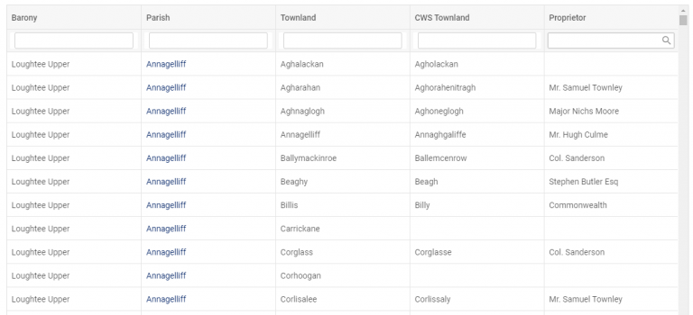
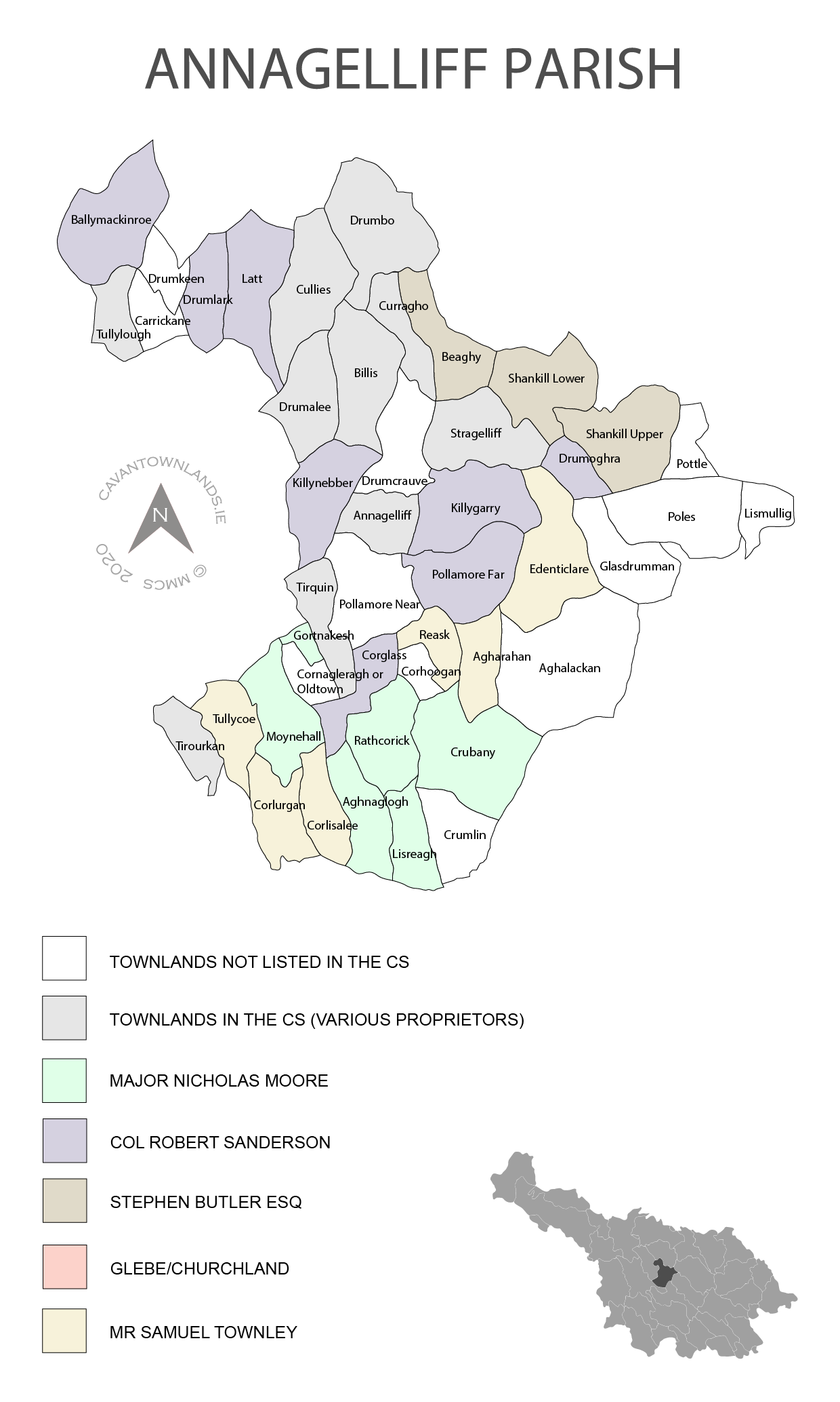
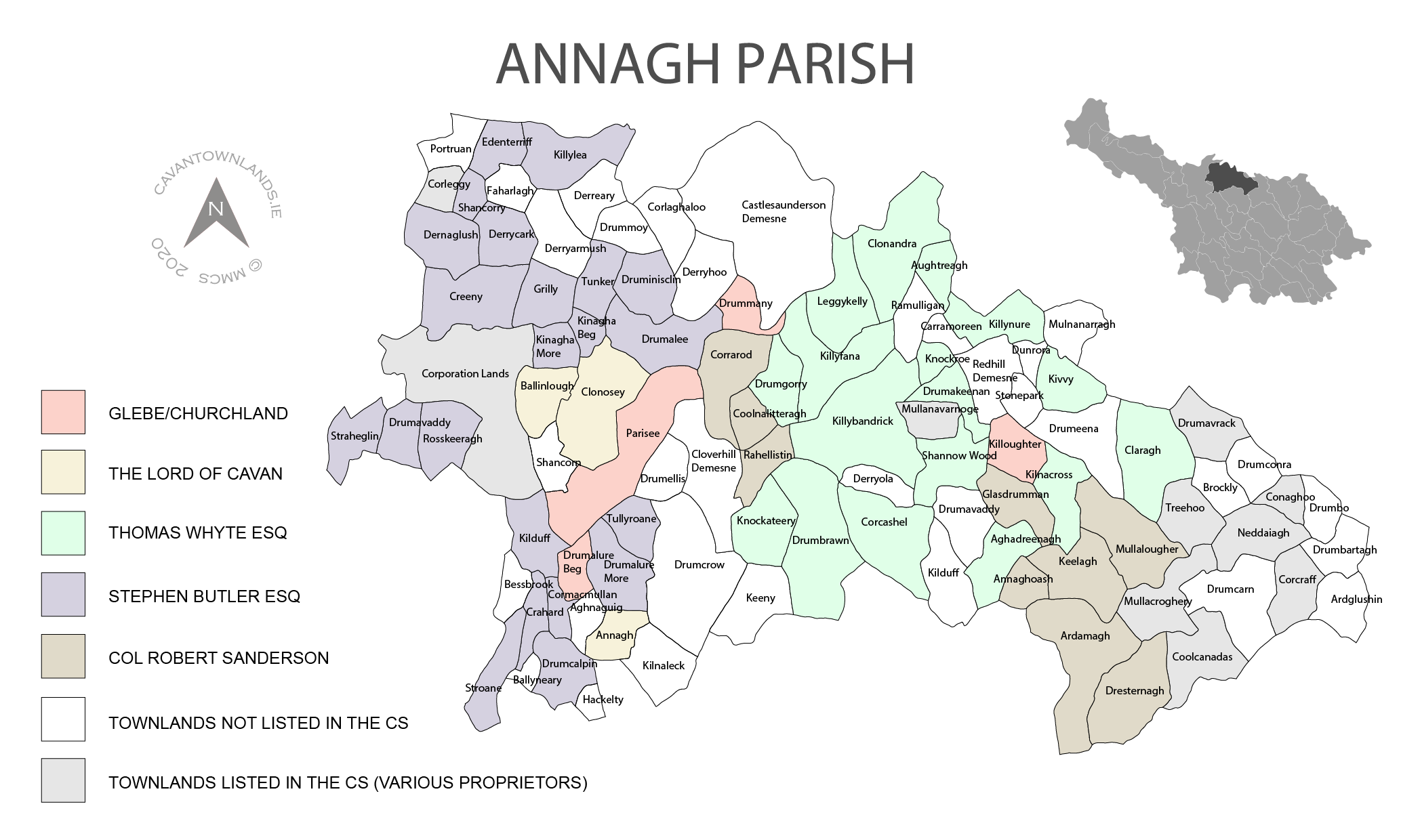
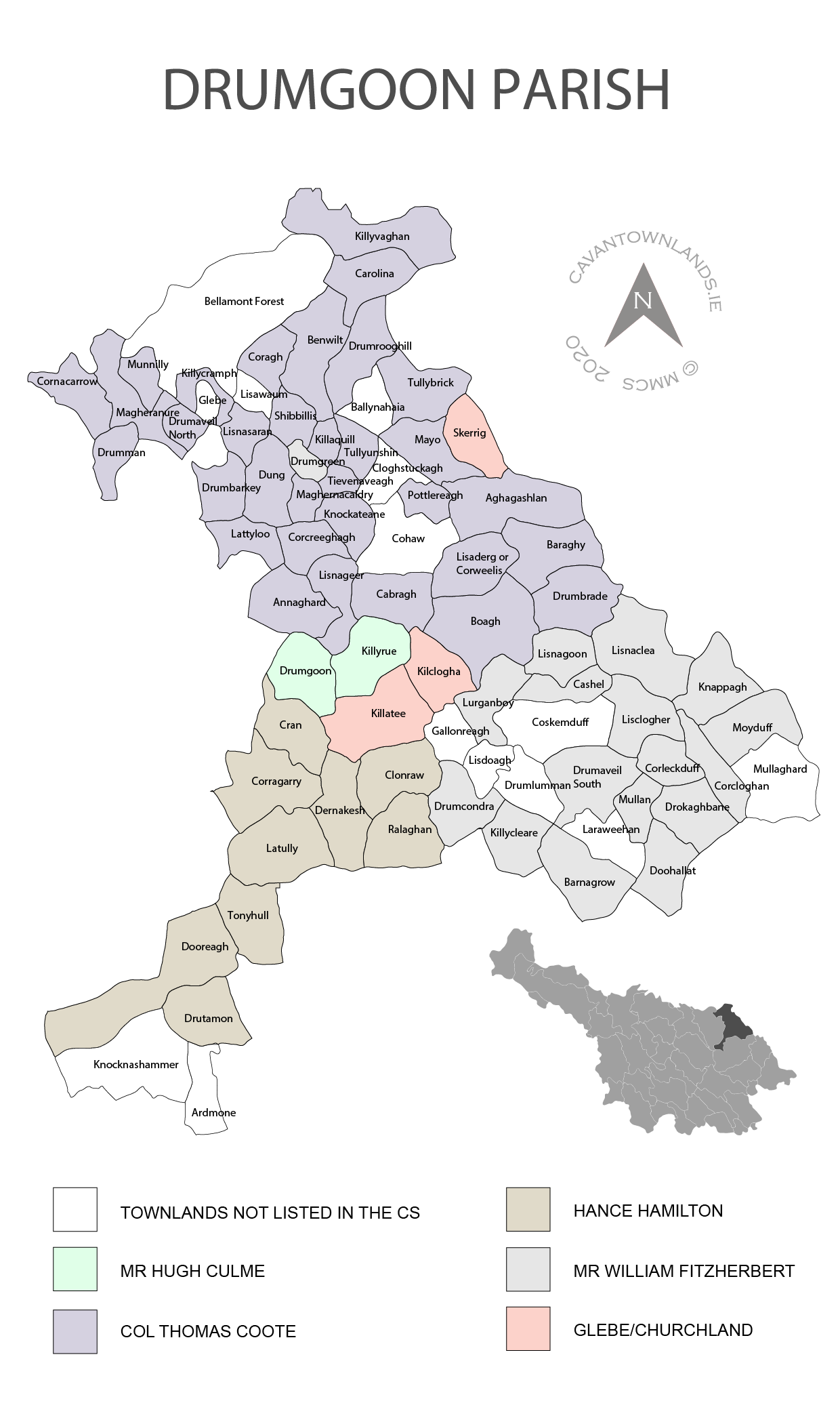
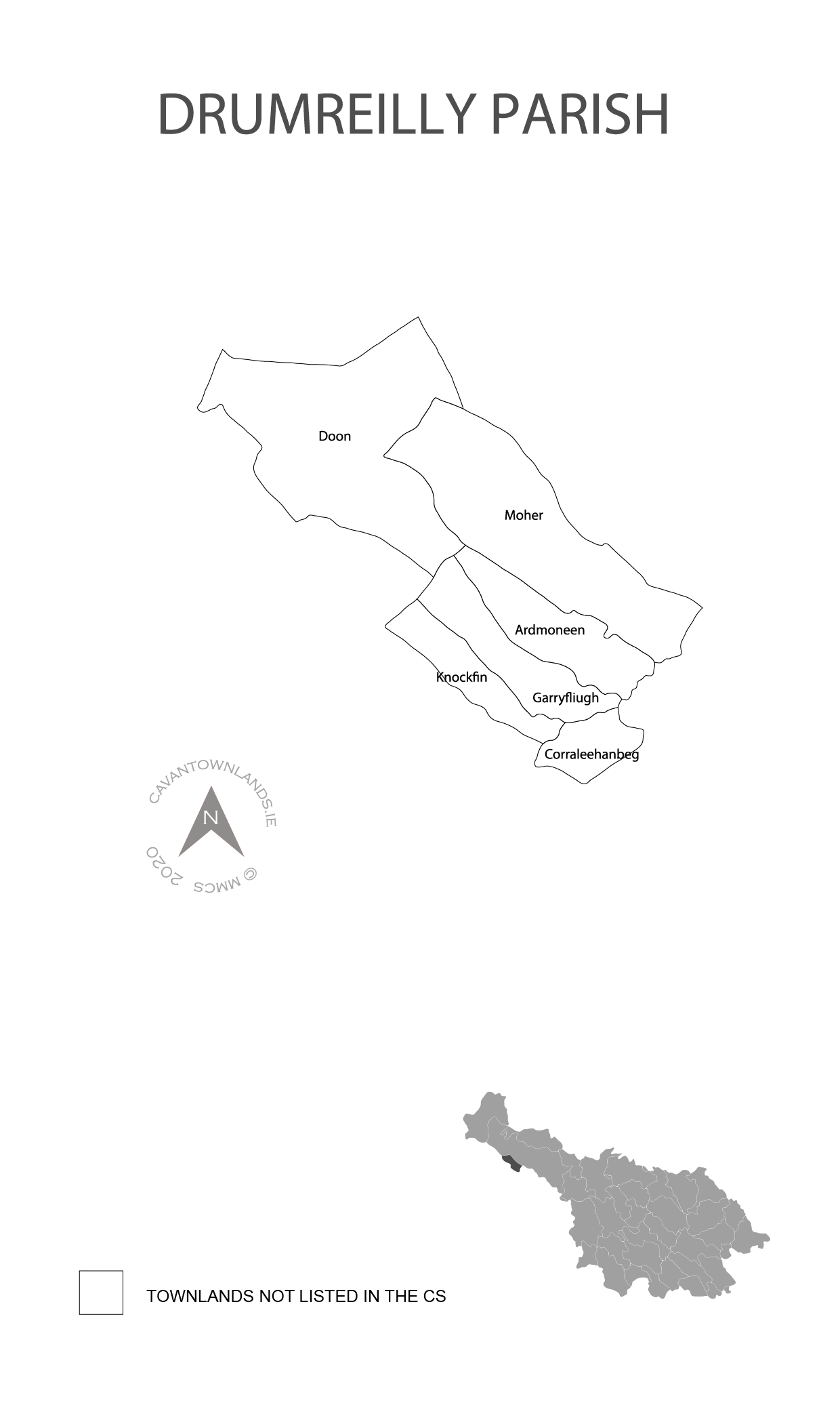
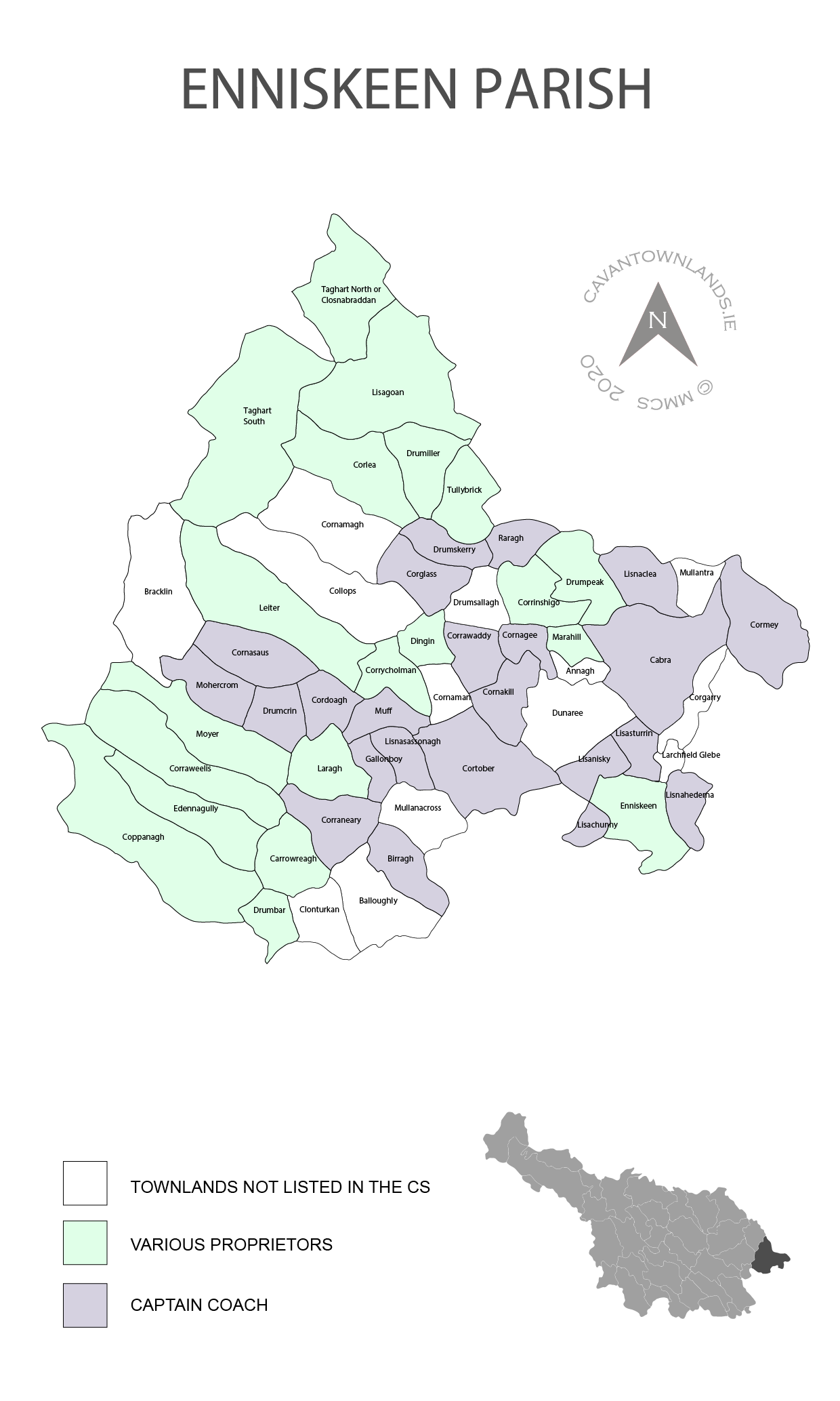
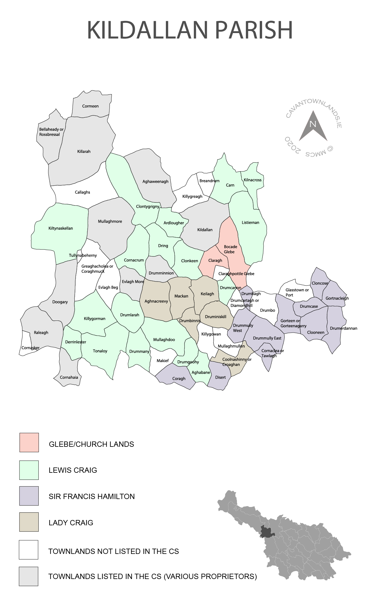
This dataset includes the names of the landowners mostly. There are a few exceptions where tenants’ names are included. These appear in the barony of Tullyhaw and include the parishes of Drumreilly, Killinagh, Kinawley, Templeport and Tomregan. Browse the entire list of Commonwealth Survey of 1652 records for Cavan. Filter by parish, townland and proprietor. Click on a parish to see colour-coded map of estates within the parish.
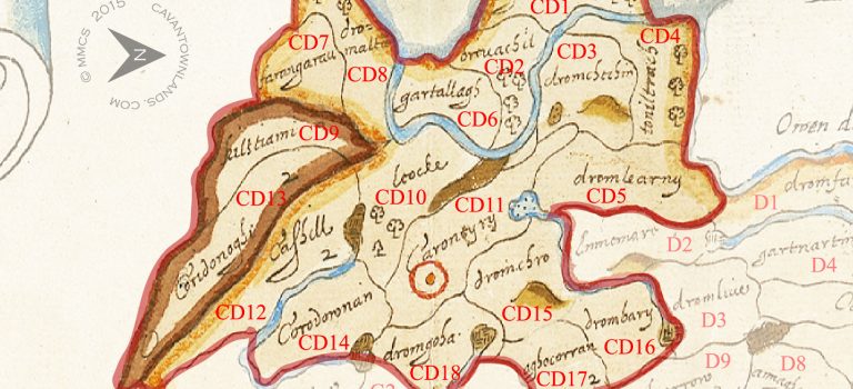
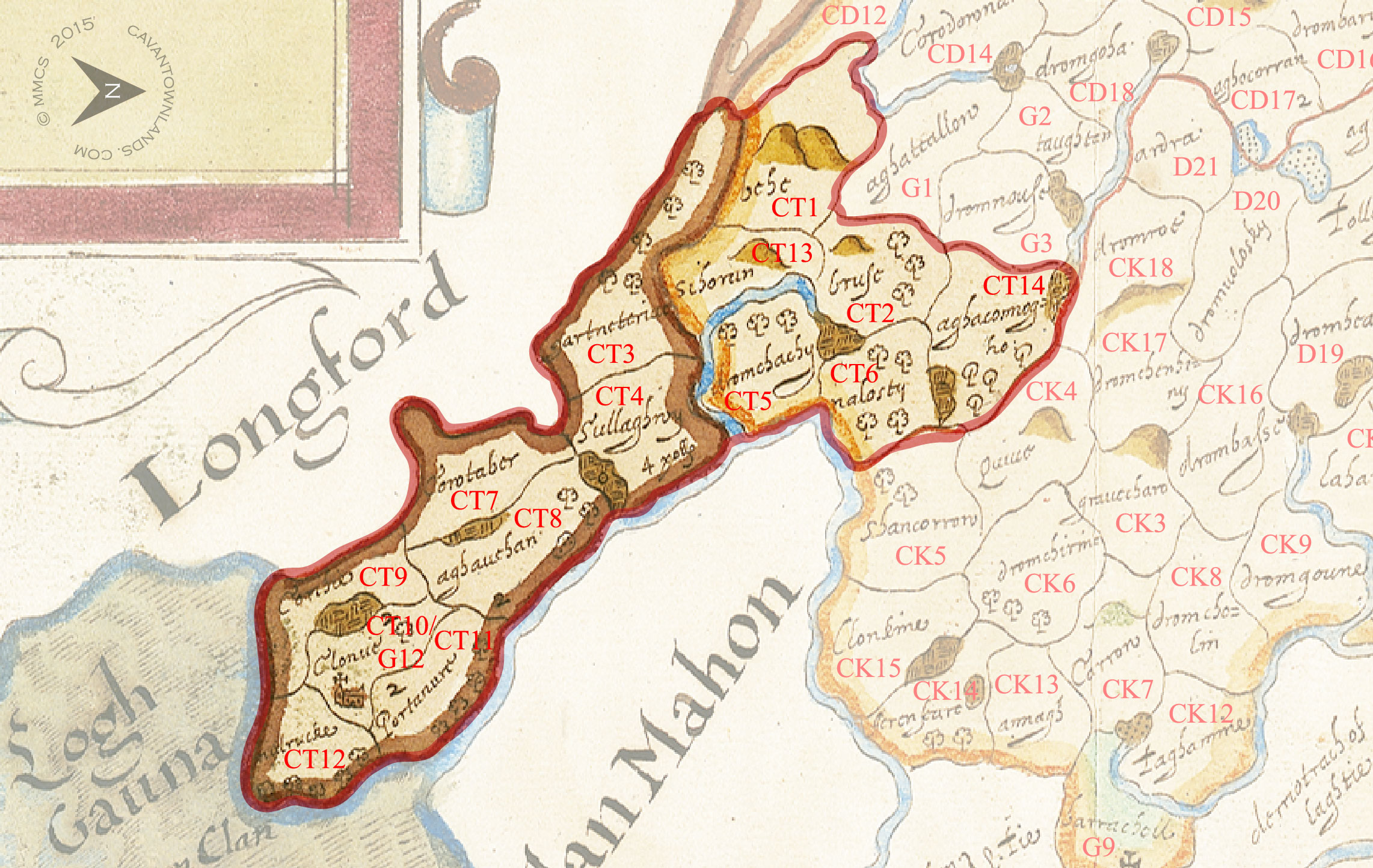
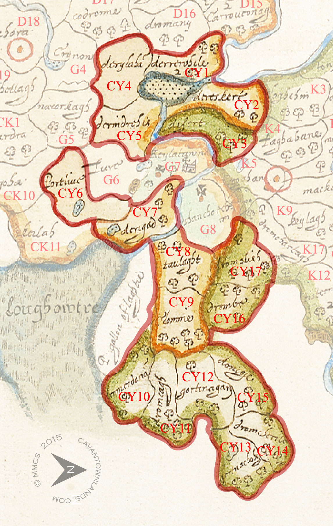
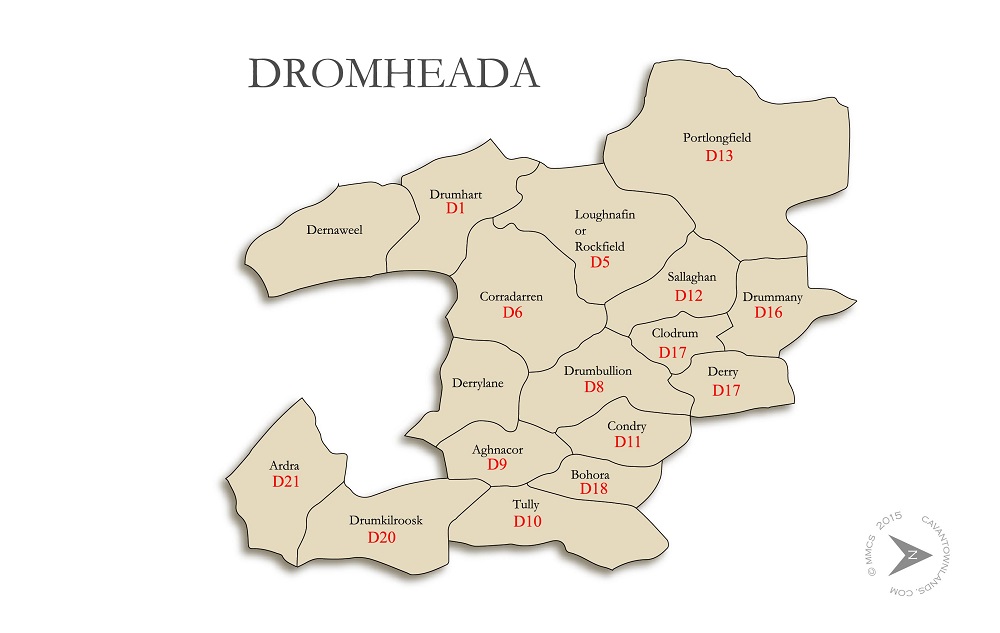
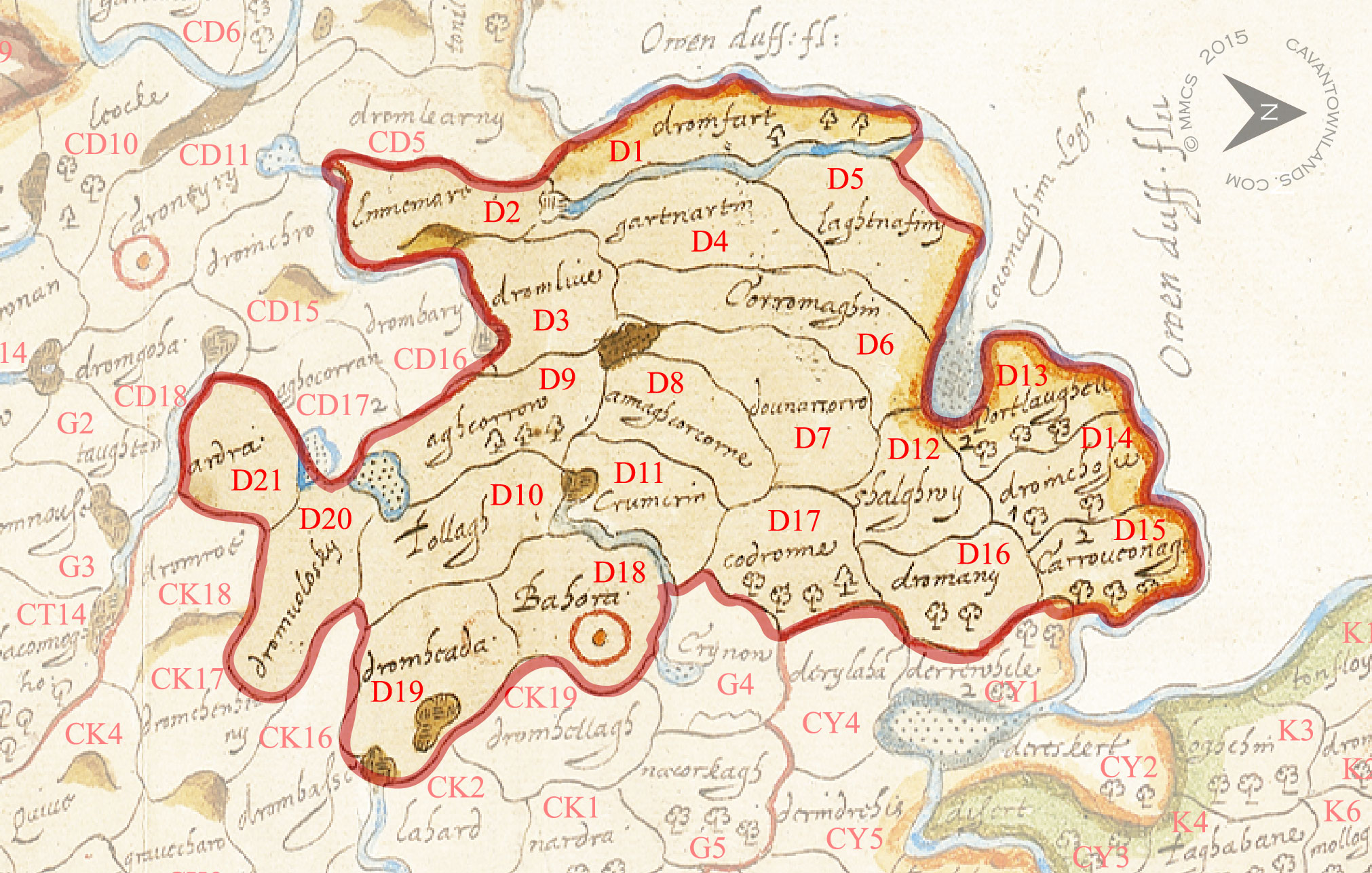
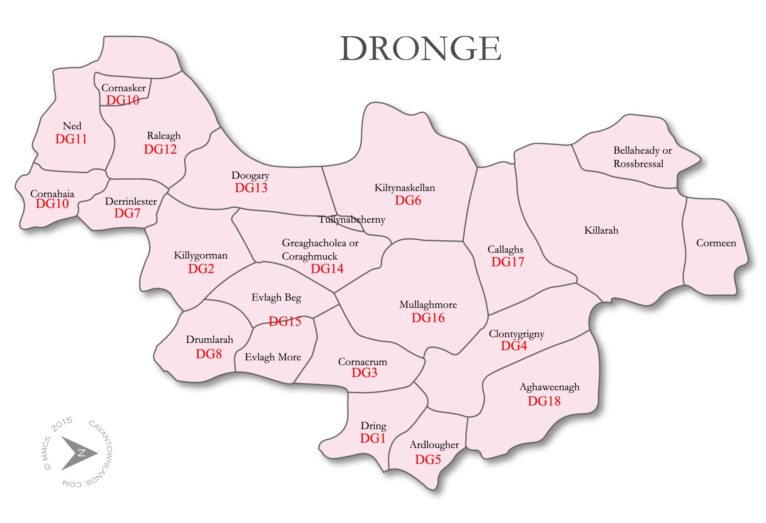
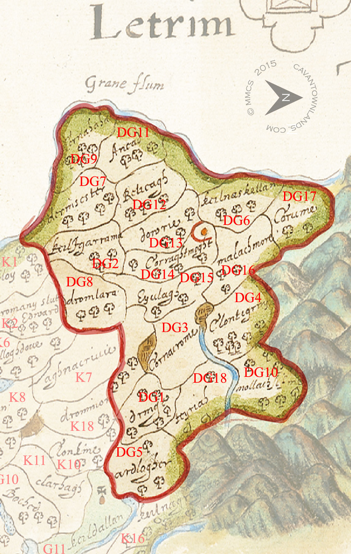
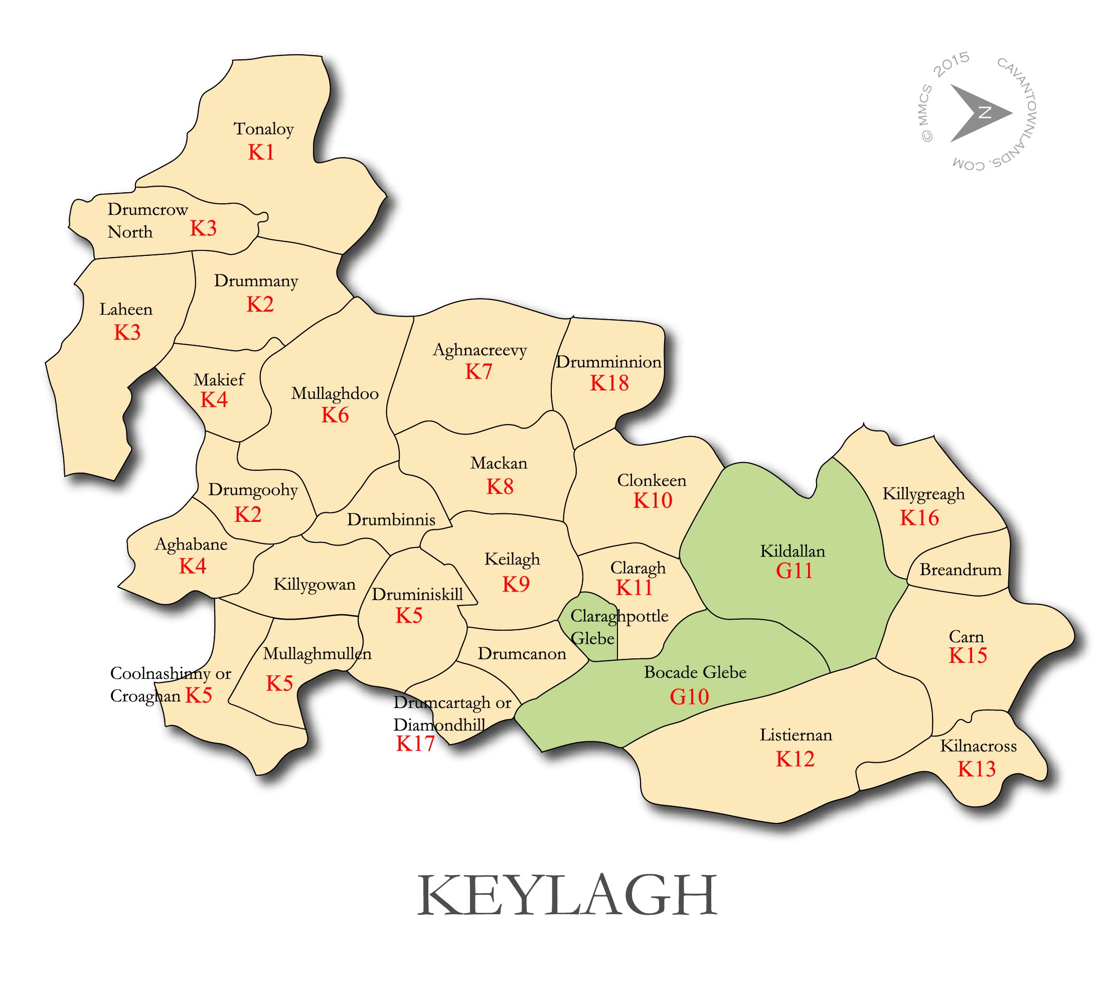
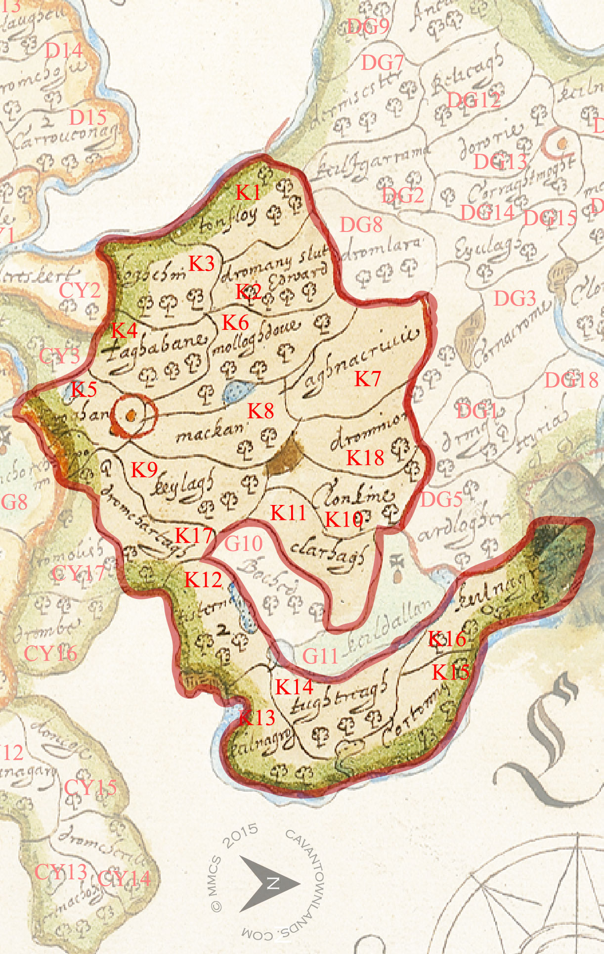
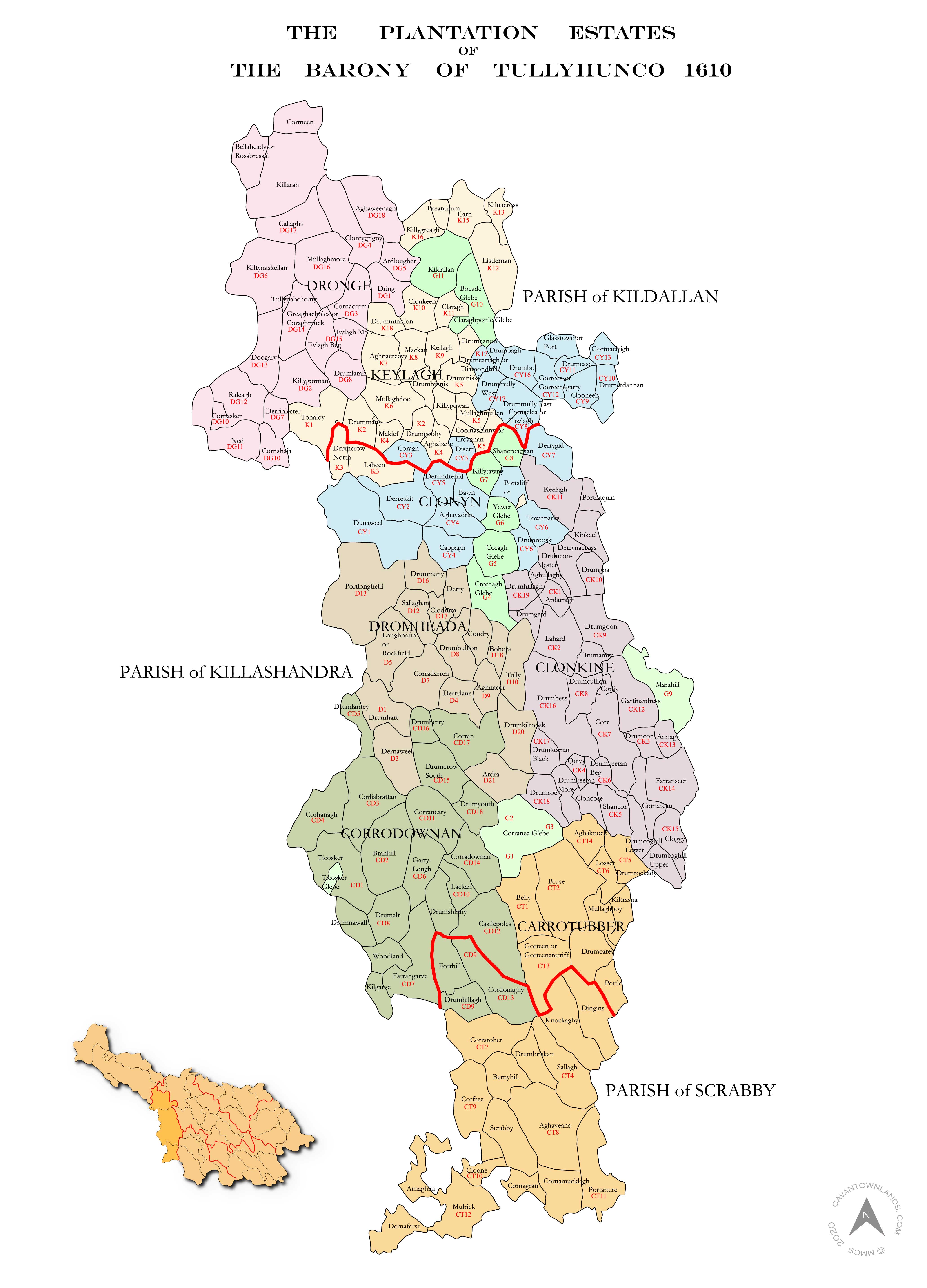
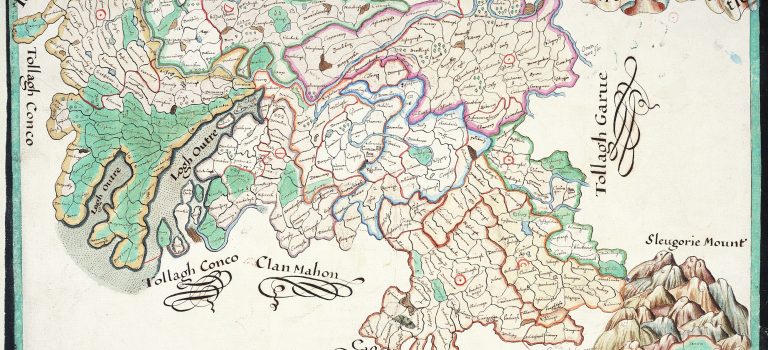
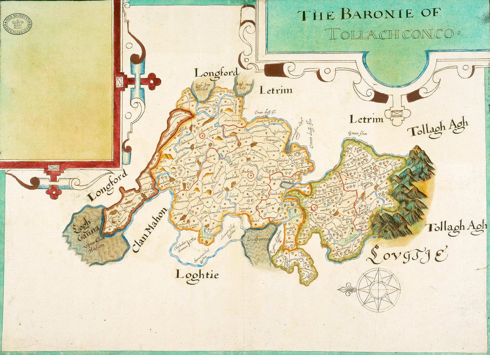
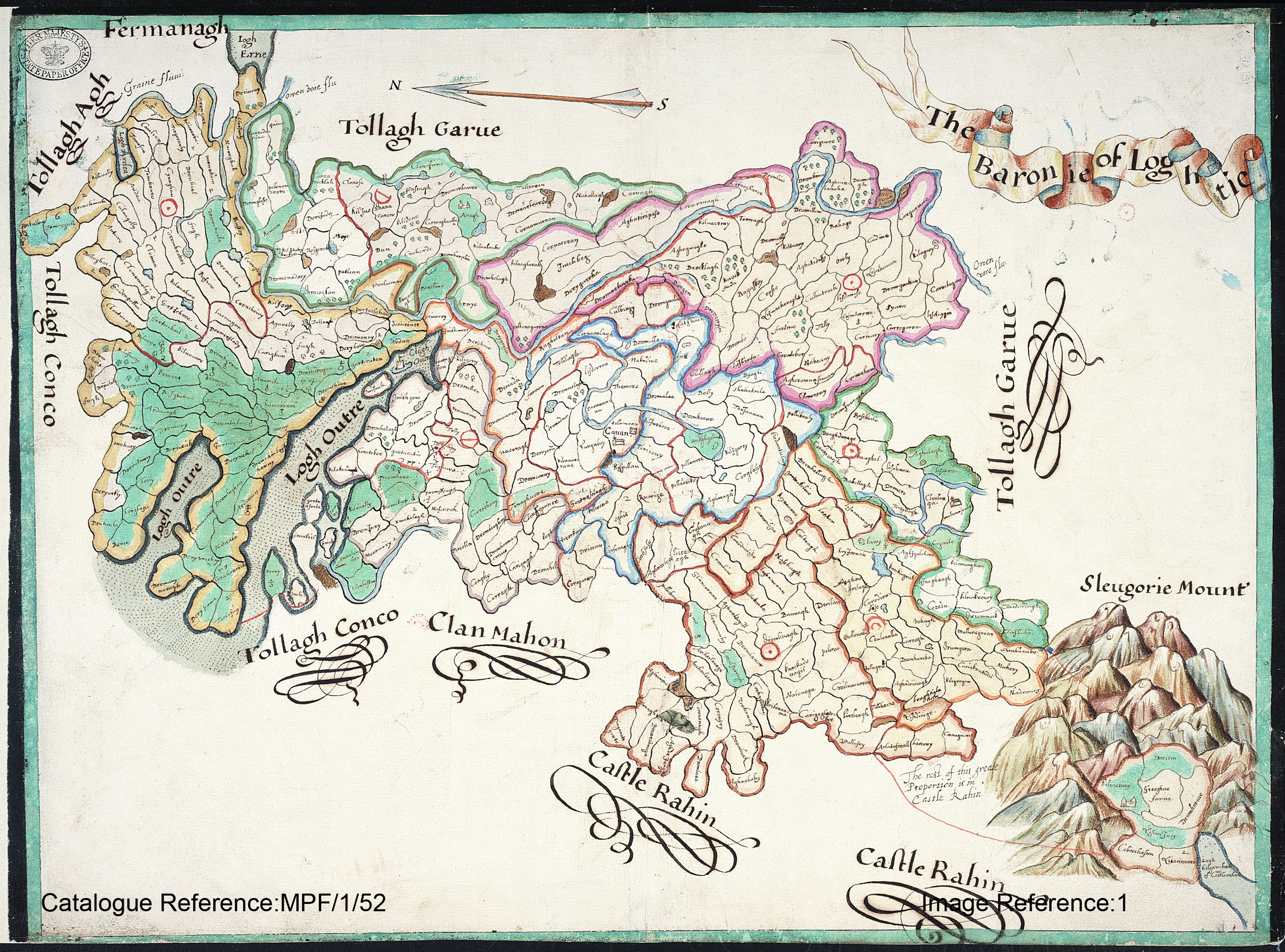
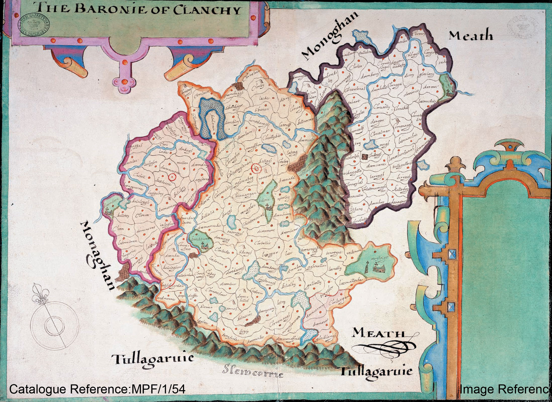
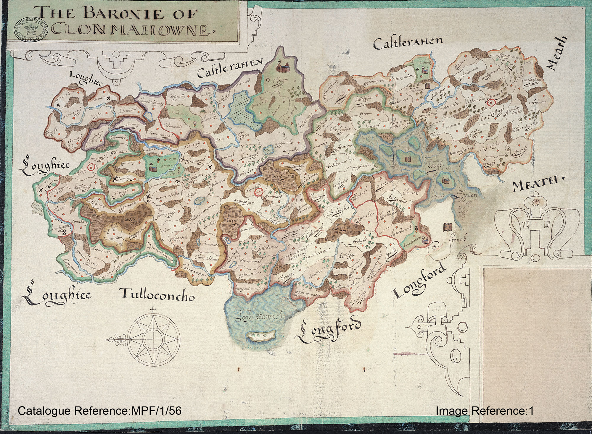
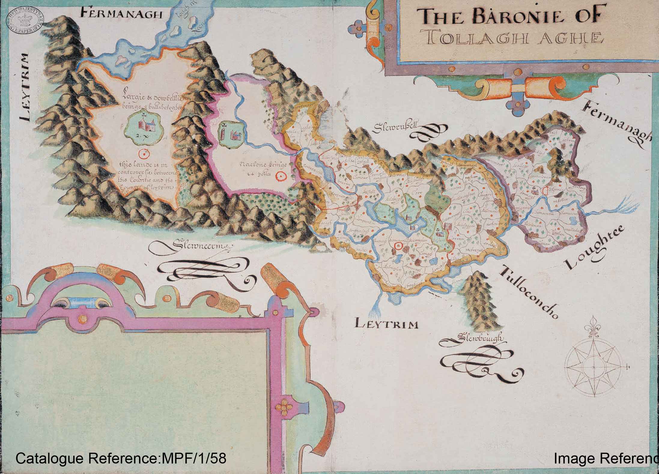
This is a detailed comparison of the barony map of Tullyhunco with the present day mapping of the area. Below you can see the individual plantation estates, or proportions as they were called. In preparation for the Plantation of Ulster forces of the Crown were tasked with surveying the escheated (confiscated) counties of Ulster vacated after the Flight of the Earls in 1607. This work was overseen by Sir Josias Bodley who presented the completed maps to King James I in 1610.
In preparation for the Plantation of Ulster forces of the Crown were tasked with surveying the escheated (confiscated) counties of Ulster vacated after the Flight of the Earls in 1607. This work was overseen by Sir Josias Bodley who presented the completed maps to King James I in 1610.
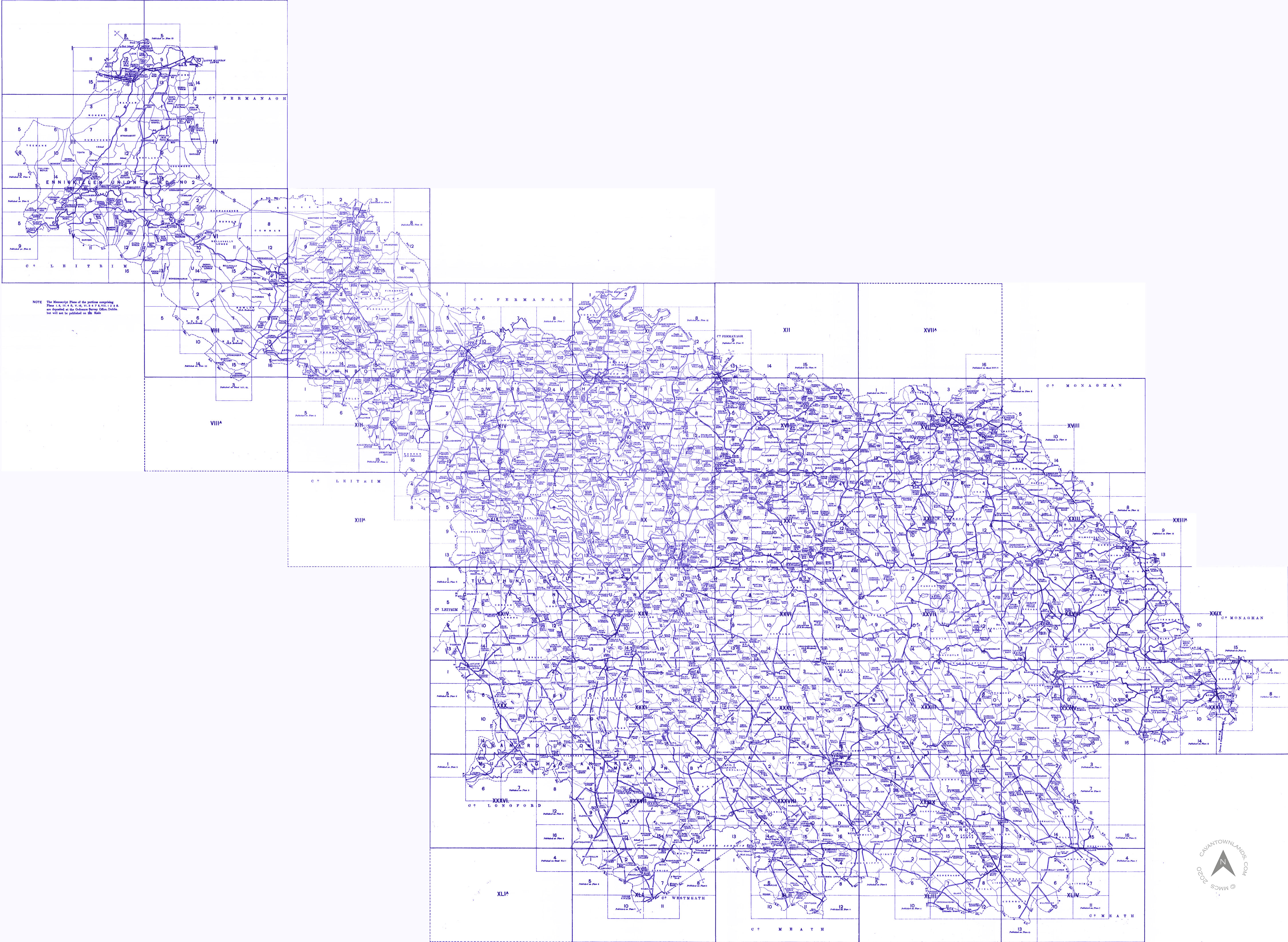
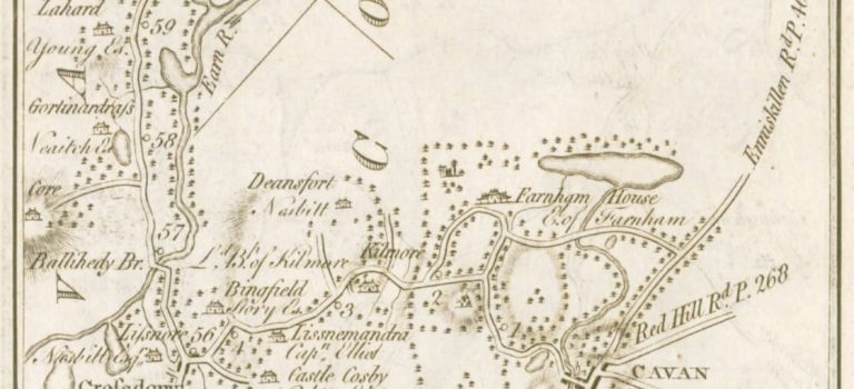
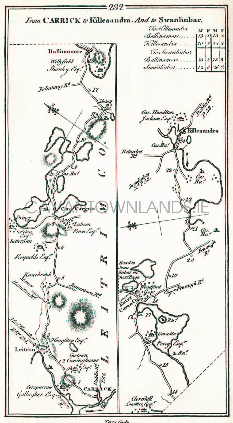
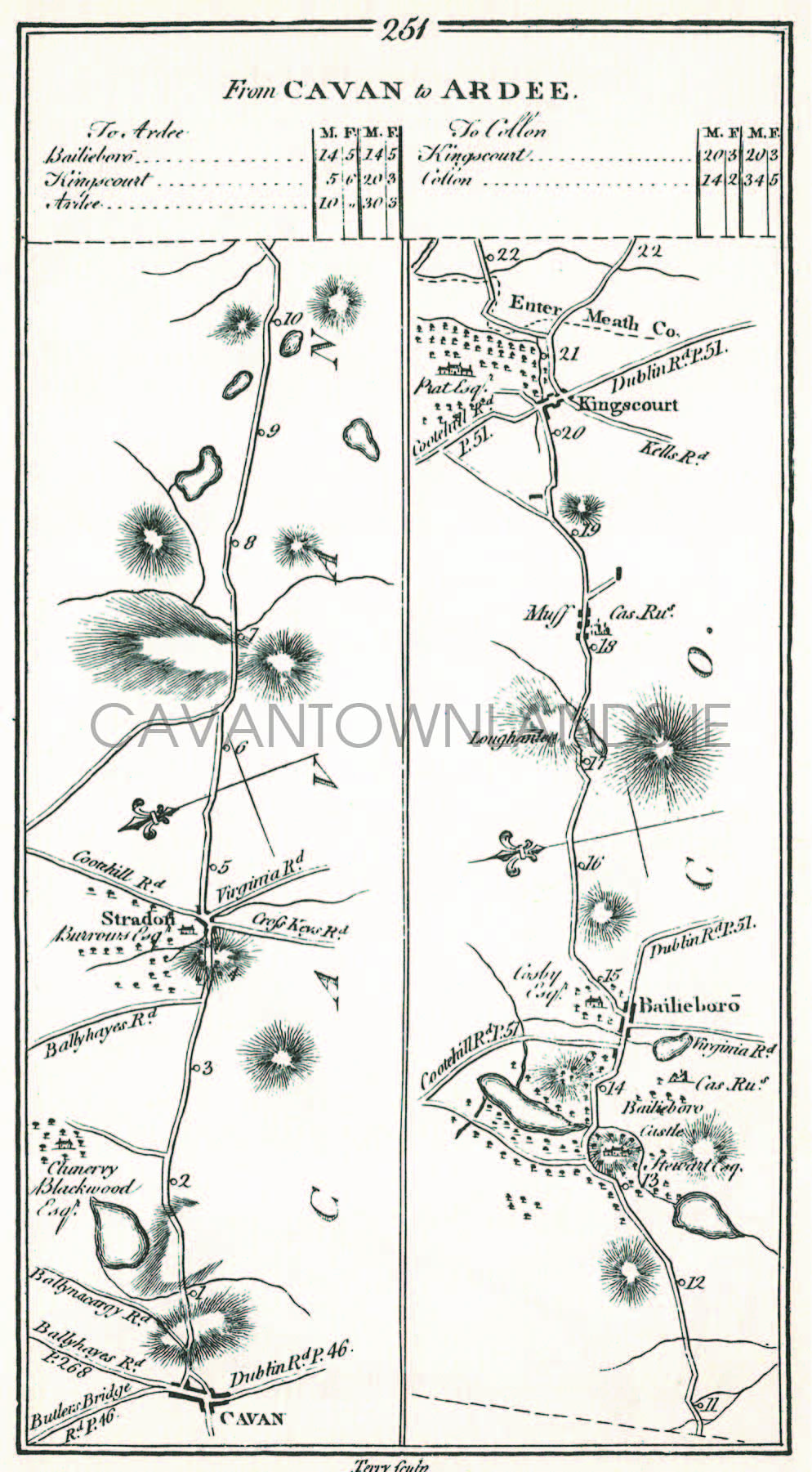
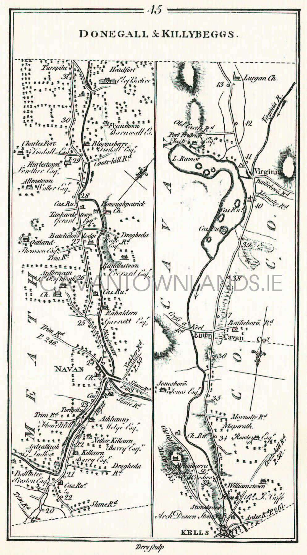
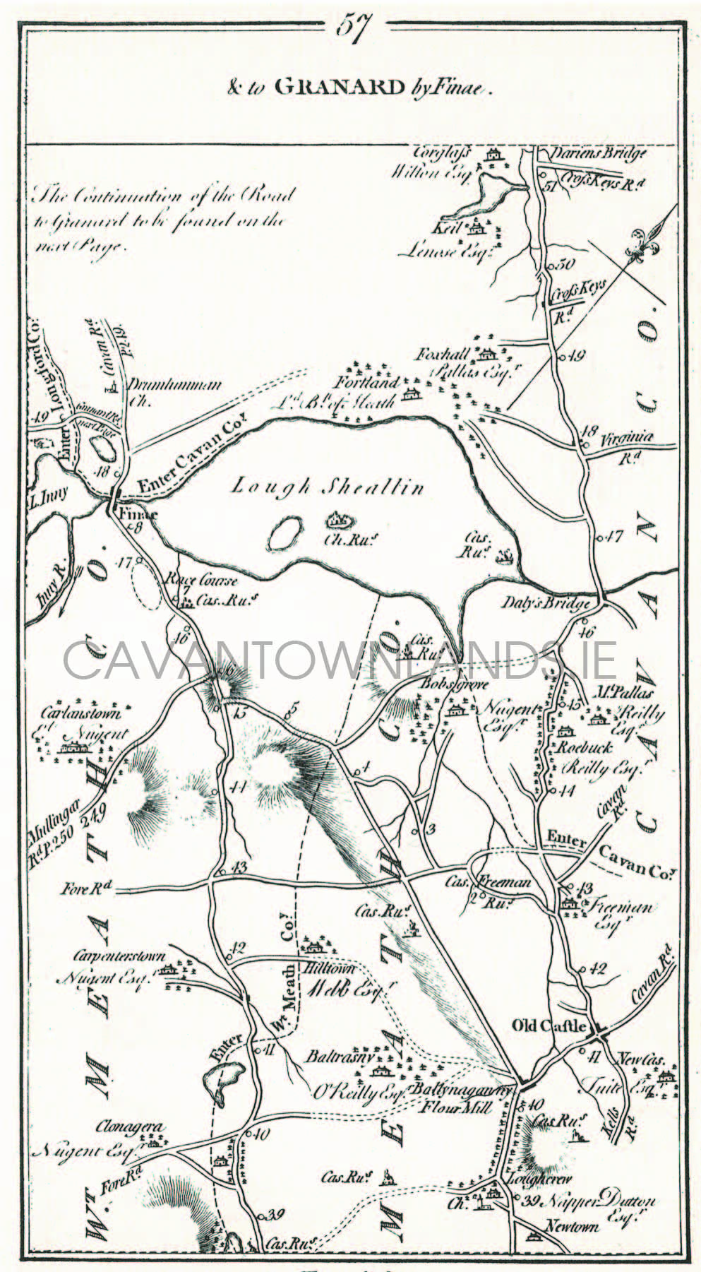
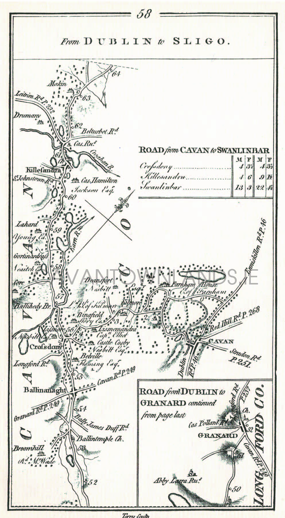
We have extracted all the Cavan related maps from this comprehensive set of road maps which were prepared for the entire country by Taylor & Skinner in 1778. When viewed as a set they cover a substantial part of the County and are the only maps to this level of detail prior to the Ordnance Survey maps which followed in the 1830’s. Click on the images below to enlarge.
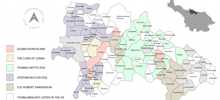
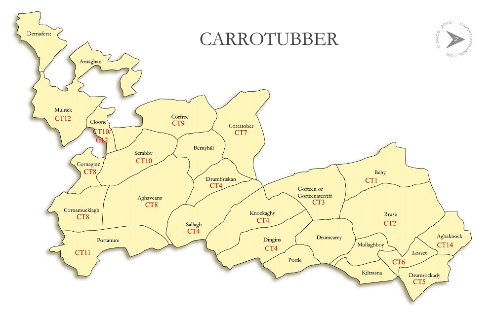
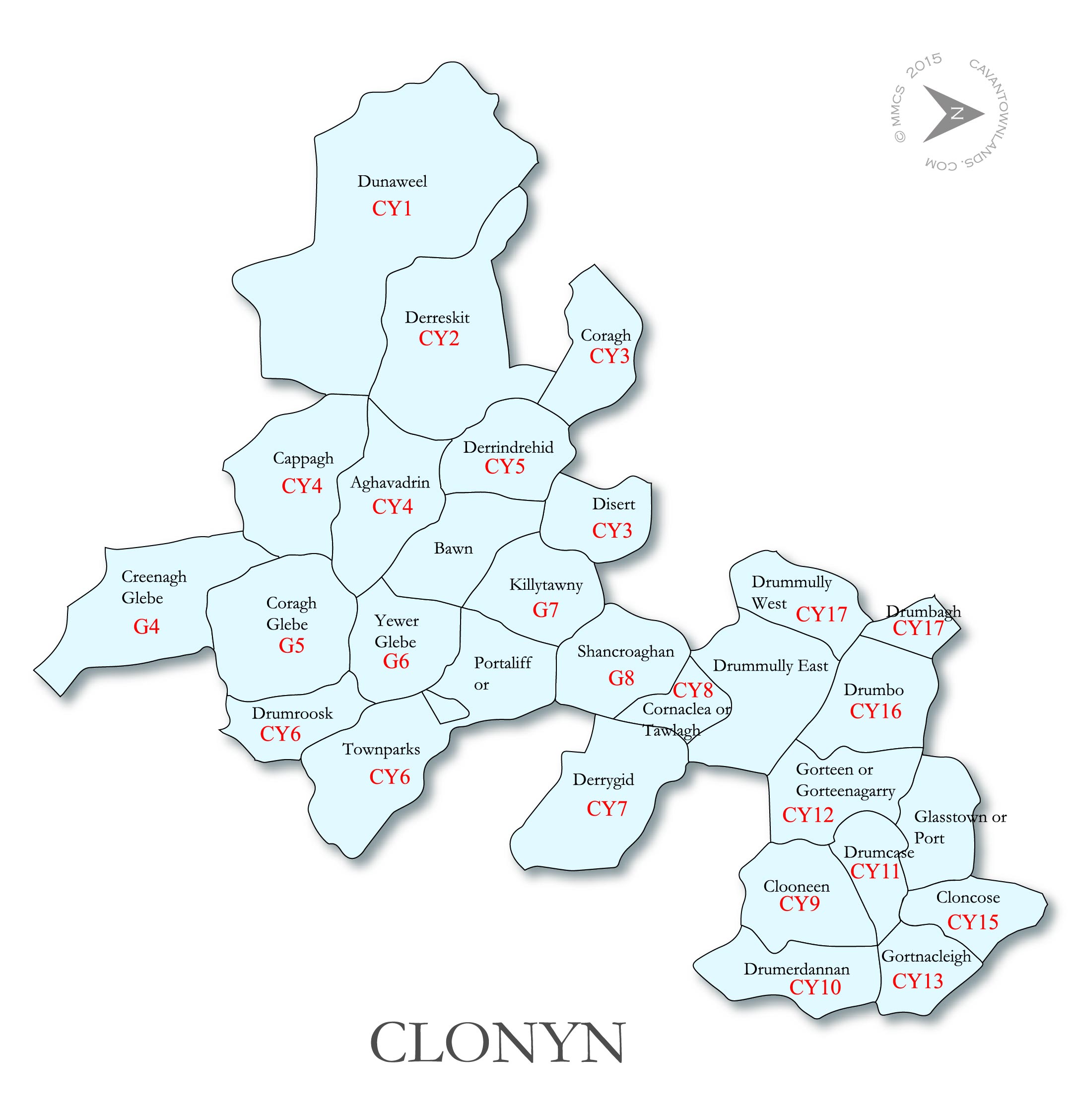
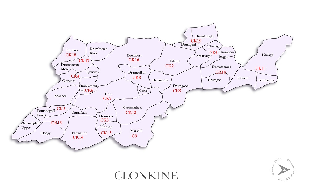
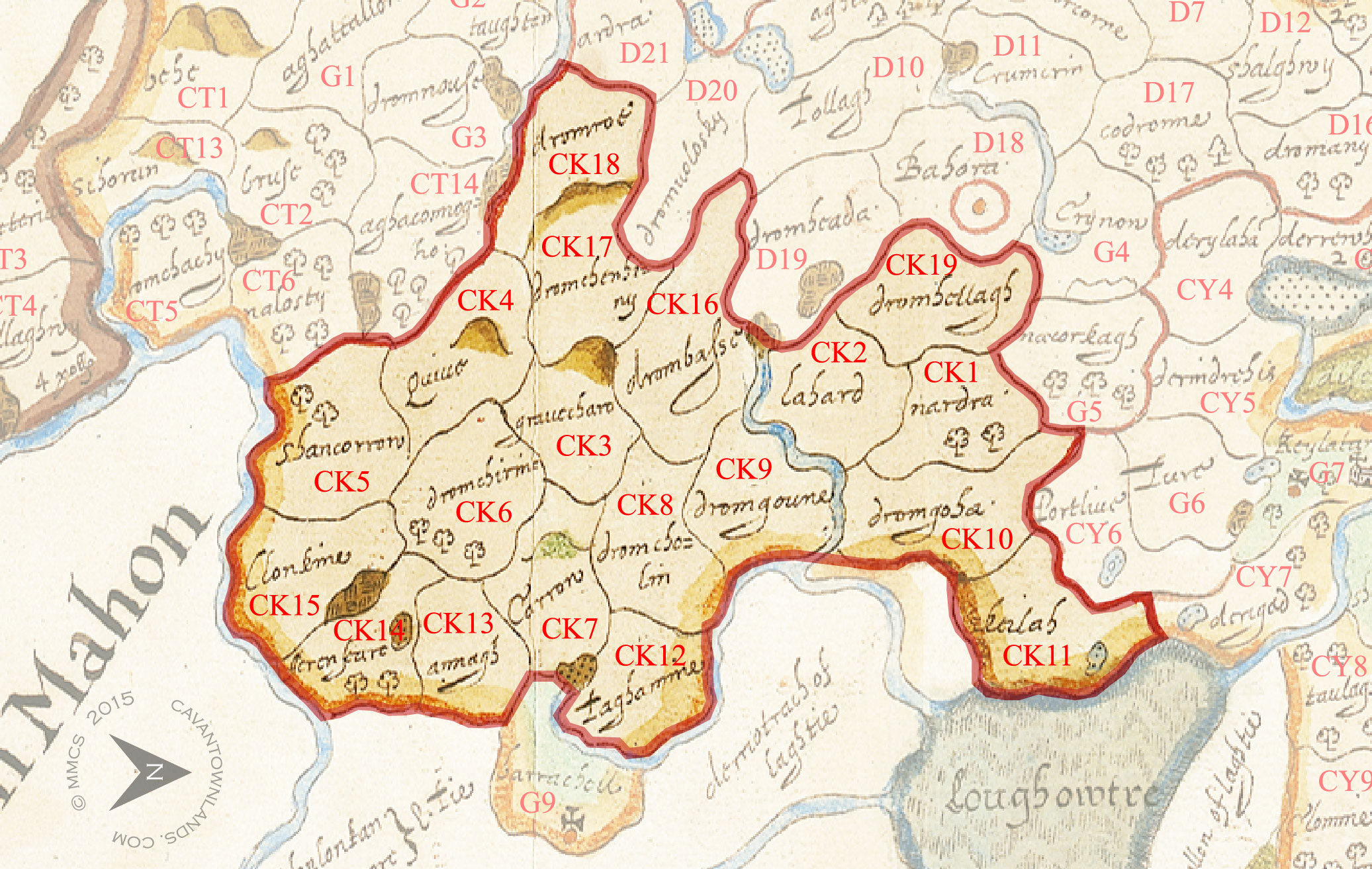
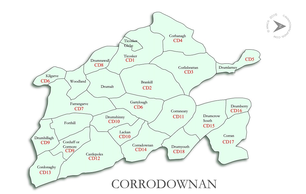
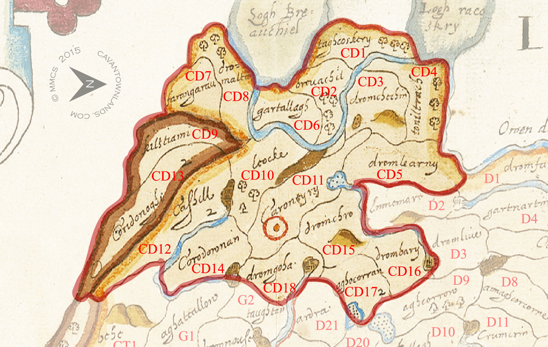
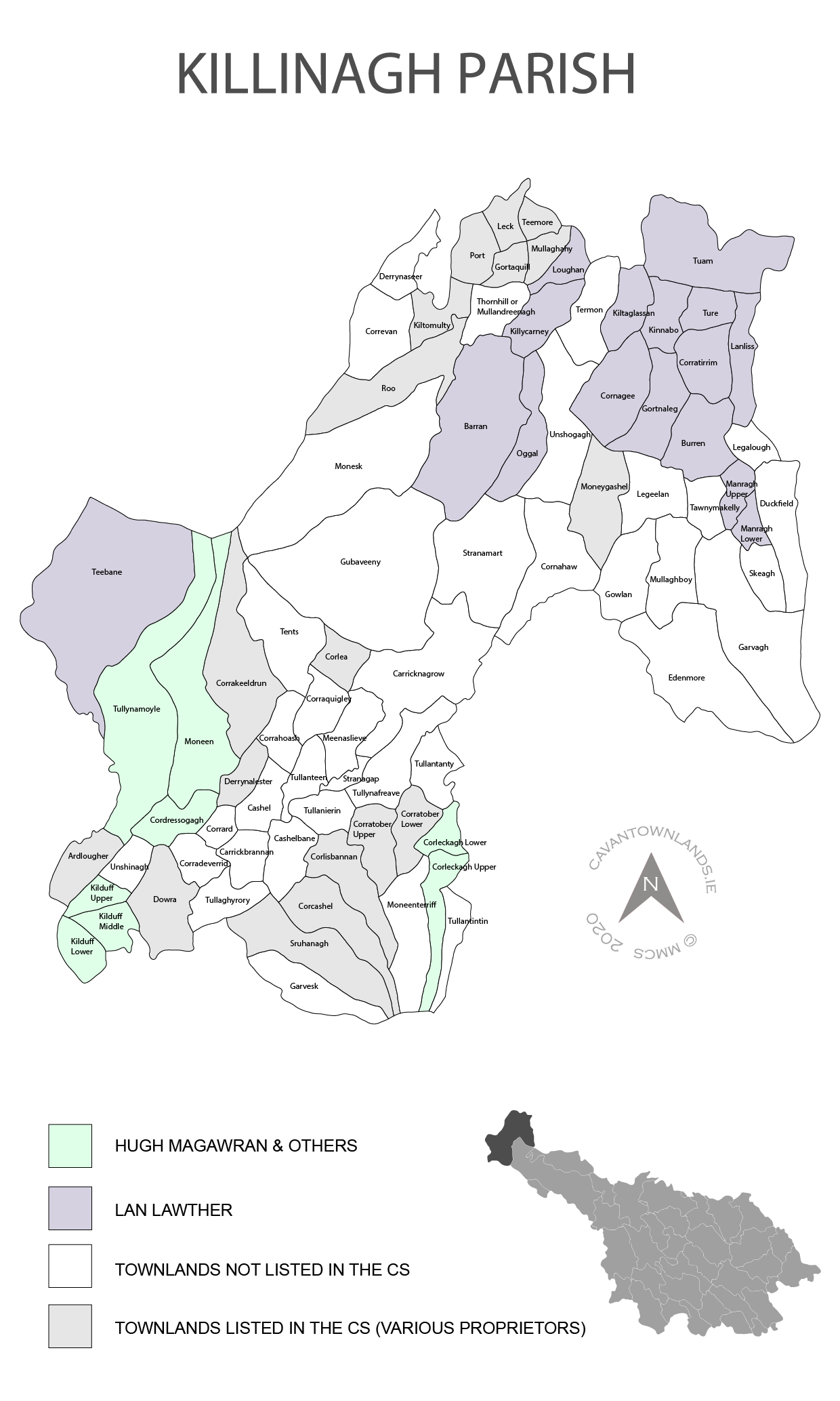
These parish maps, covering the entire of County Cavan, have been prepared by Michael McShane from the information contained in the Commonwealth Survey of 1652/53. They visually chart the evolution of the plantation estates and contain information on the proprietors of the lands at this time. Click on the images below to enlarge.
We use cookies on our website to give you the most relevant experience by remembering your preferences and repeat visits. By clicking “Accept”, you consent to the use of ALL the cookies.
This website uses cookies to improve your experience while you navigate through the website. Out of these, the cookies that are categorized as necessary are stored on your browser as they are essential for the working of basic functionalities of the website. We also use third-party cookies that help us analyze and understand how you use this website. These cookies will be stored in your browser only with your consent. You also have the option to opt-out of these cookies. But opting out of some of these cookies may affect your browsing experience.
Necessary cookies are absolutely essential for the website to function properly. These cookies ensure basic functionalities and security features of the website, anonymously.
Cookie
Duration
Description
cookielawinfo-checbox-analytics
11 months
This cookie is set by GDPR Cookie Consent plugin. The cookie is used to store the user consent for the cookies in the category "Analytics".
cookielawinfo-checbox-functional
11 months
The cookie is set by GDPR cookie consent to record the user consent for the cookies in the category "Functional".
cookielawinfo-checbox-others
11 months
This cookie is set by GDPR Cookie Consent plugin. The cookie is used to store the user consent for the cookies in the category "Other.
cookielawinfo-checkbox-necessary
11 months
This cookie is set by GDPR Cookie Consent plugin. The cookies is used to store the user consent for the cookies in the category "Necessary".
cookielawinfo-checkbox-performance
11 months
This cookie is set by GDPR Cookie Consent plugin. The cookie is used to store the user consent for the cookies in the category "Performance".
viewed_cookie_policy
11 months
The cookie is set by the GDPR Cookie Consent plugin and is used to store whether or not user has consented to the use of cookies. It does not store any personal data.
Functional cookies help to perform certain functionalities like sharing the content of the website on social media platforms, collect feedbacks, and other third-party features.
Performance cookies are used to understand and analyze the key performance indexes of the website which helps in delivering a better user experience for the visitors.
Analytical cookies are used to understand how visitors interact with the website. These cookies help provide information on metrics the number of visitors, bounce rate, traffic source, etc.
Advertisement cookies are used to provide visitors with relevant ads and marketing campaigns. These cookies track visitors across websites and collect information to provide customized ads.