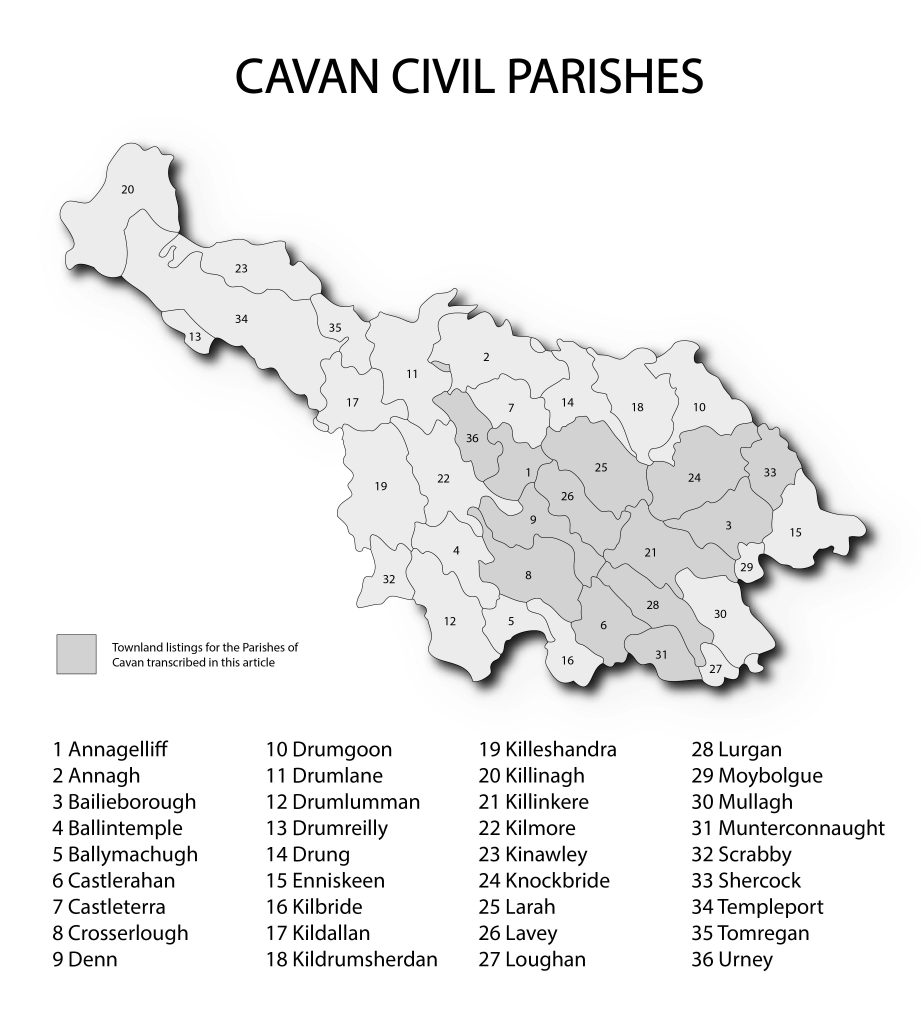
1836 Name Book records for the townlands of 9 parishes first published in The Heart of Breifne.
The preparation of the six inch to one mile scale maps of the entire island of Ireland, which was conducted by The Ordnance Survey of Ireland between 1824 and 1846, required the naming of townlands, geographical features, prominent buildings and landmarks. The renowned Irish scholar, John O’Donovan, was given the task of ascertaining accurately the old Irish names of the townlands, their translation and making recommendations for the final English version to be used in the printed maps. This he did with great skill and attention to detail. He visited Cavan in 1836 and his travels are recorded in his Ordnance Survey Letters which were reports and requests written to the OS headquarters in the Phoenix Park. The orthography section of the Name Books include the received name, the final agreed name and translations as well as other versions which were encountered. The final section of the field name books under the headings ‘Situation’ and ‘Descriptive Remarks’ typically provide details on the exact location and description of boundaries along with notes on soils, farming practices, leases and rents, prominent buildings, employment and landlord names. Here we reproduce, courtesy of Anna Sexton editor of The Heart of Breifne, the summarised Descriptive Remarks which were transcribed by Liam O’Ceallaigh and published over the years 1979-1987. The nine parishes covered are: Bailieborough, Castlerahan, Crosserlough, Denn, Killinkere, Knockbride, Lavey, Munterconnaught and Shercock.
