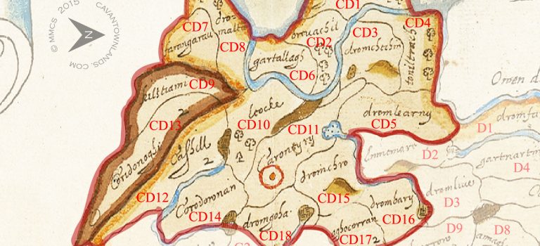
Bodley Plantation Map of the barony of Tullyhunco 1609/10
This is a detailed comparison of the barony map of Tullyhunco with the present day mapping of the area. Below ...

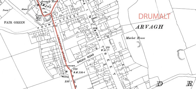
Ordnance Survey Maps
Here you can view a selection of historical Ordnance Survey maps of County Cavan ...
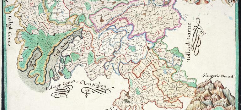
Bodley Maps of the baronies of County Cavan1610
In preparation for the Plantation of Ulster forces of the Crown were tasked with surveying the escheated (confiscated) counties of ...
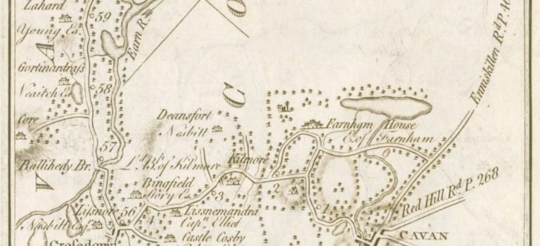
Taylor & Skinner Road Maps of Cavan 1778
We have extracted all the Cavan related maps from this comprehensive set of road maps which were prepared for the ...
Commonwealth Survey Maps
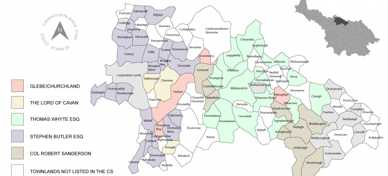
These parish maps, covering the entire of County Cavan, have been prepared by Michael McShane from the information contained in ...
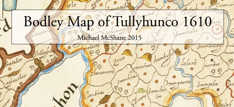
Bodley’s map of Tullyhunco 1610
Historical Background/Context After the flight of the earls in 1607 the six escheated (confiscated) counties of Ulster which comprised Armagh, ...